Date of Hike: 10/28/17
Gale River Trail: 2.2 miles / Bushwhack: 2.2 miles / Garfield Ridge Trail: 0.9 miles / Garfield Trail: 3.6 miles / Snowmobile Trail: 1.1 miles / Gale River Road: 1.0 miles
Total Miles: 11.0 miles (3,100 feet elevation gained) Garmin Forerunner 920XT & A.M.C White Mountain Guide
Trip Report
- After two months of 50K mountain runs, I was looking forward to resting my legs and getting in some bushwhacking until the snow starts flying, and with the recent deluge in rain it made for a perfect time to check out one of the best White Mountain waterfalls, Hawthorne Falls.
- Hawthorne Falls is located along Garfield Stream, which drains from a deep col to the east of Mount Garfield. Interestingly enough, the original cut of the Gale River Trail used to parallel Garfield Stream, passing by Hawthorne Falls as it made its way up to Garfield Ridge. During this time, the present day Gale River Trail was called Galehead Trail. Then, sometime between 1955 and 1960, the Gale River Trail was abandoned, and the Galehead Trail was renamed the Gale River Trail, got all that, good!
- On Saturday morning I headed back to Hawthorne Falls for the first time since 2013. Joining me for the off trail adventure was my friend Todd, who moved up north to the mountains this past spring, and enjoys similar long mile hikes/runs in the White Mountains.
- We started our hike along the Gale River Trail for the first two miles until crossing Garfield Stream, here we started the buswhack. We hiked in the woods close to the stream and dropped down to it on a few occasions to check out the numerous pools, cascades, and small waterfalls. There are a few spots while bushwhacking where it seems we are on the remnants of the old trail, but I'm not 100% sure. I'm confident that at the start of our bushwhack we are definitely on the old trail corridor, but this peters out quickly. There are other spots along the way that I think are remnants of the old trail, but honestly it's 50/50. Most of the time it's just a straight bushwhack, easy to moderate whack, (if you're used to bushwhacking) with a couple of thick spots, but no "knife fights." The worst part is the hidden holes between boulders; grass, moss, and rotting leaves that you punch through if not paying attention.
- Some of the highlights of the trek up to Hawthorne Falls were stopping by Staircase Falls, Garfield Stream Cascade, Commandment Pool with Tablet Rock, and Mini Hawthorne Falls. I don't know if each of these have official names but it's how I refer to them at the moment, see pictures below, and click here for Todd's pics.
- After about a mile and a half we made it to Hawthorne Falls, which was flowing at a good rate. We carefully made our way towards the pool at the base of the falls and snapped pictures. What can I say about the falls? It's beautiful and a lost hidden gem from the first half of the twentieth century, a visit to the past of the early days of White Mountain hiking, one that seems to be long forgotten by many, but can be discovered by reading old guides books and studying maps.
- Once done admiring the falls, we started our way up to Garfield Ridge. Here, we ran into the thickest stuff of the day, mostly when we ventured too close to the bank of the stream, further away from the stream the woods were more manageable, eventually the woods opened up and we popped out on the Garfield Ridge Trail a few hundred feet east of the Franconia Brook Trail junction.
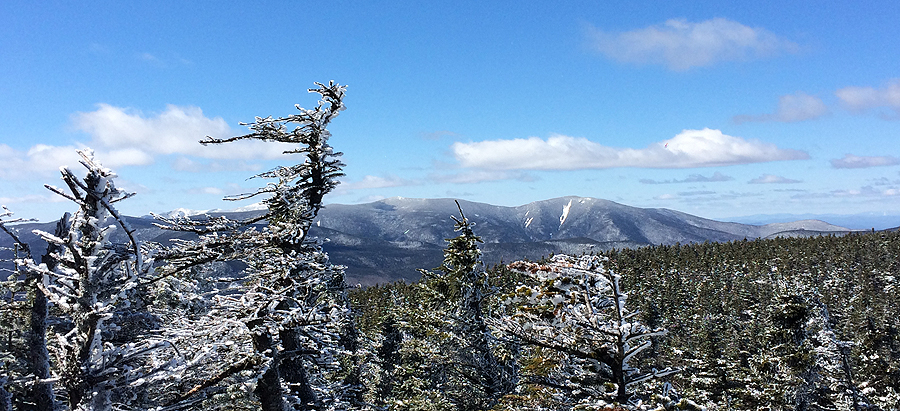
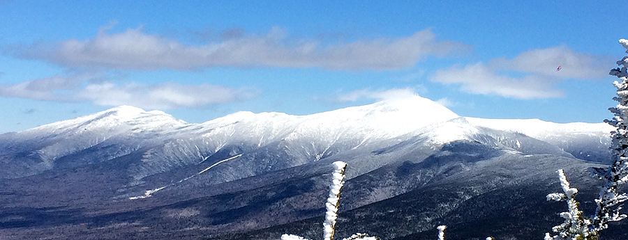
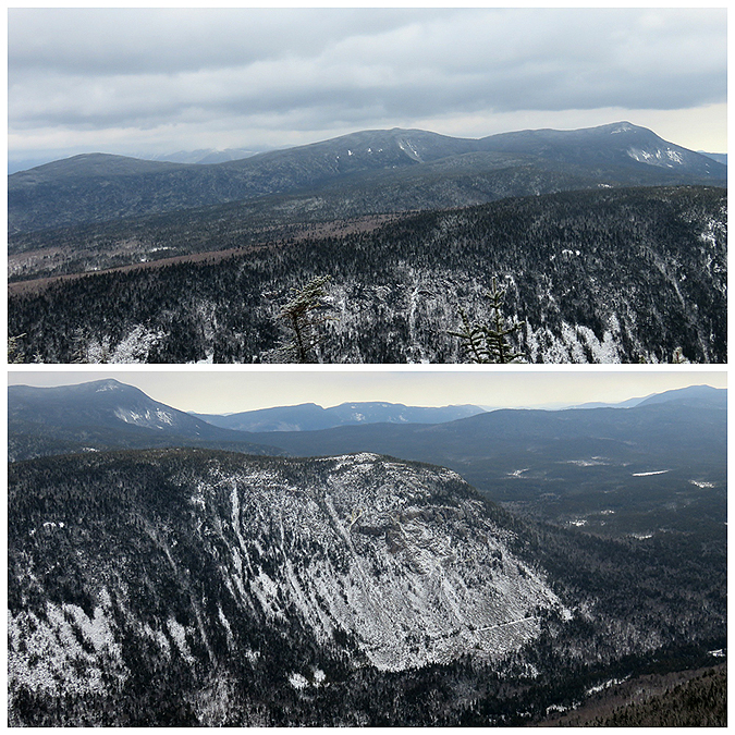
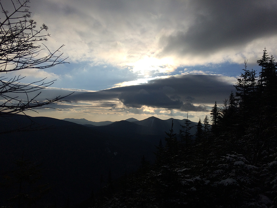
- Back on the trails we made our way up to the summit and took in the great views as the wind was whipping at about a 40MPH clip, which felt very refreshing.
- After about ten minutes we started our descent where I promptly rolled my ankle, it actually buckled on me, which hasn't happened in years. At first I thought I really screwed it up, but I got off really lucky, just a nasty roll and a slight sprain. A day later it's tender with very minor swelling, no pain on forward movement, although some pain with lateral movement, should be 100% in a week with rest! What is funny about this is I'm pretty sure on the ascent up to the summit while Todd and I were talking about trail running I said something along the lines of, "Descending is where I make up time on my runs, I'm able to descend quickly, I'm lucky in that I just have great balance and never ever roll my ankles." I guess I jinxed myself pretty good! But it's just a reminder to never take mountain running, especially in the rugged terrain of the northeast, for granted and to always pay attention and use extreme caution. No one is invisible!
- Even with the ankle scare we quickly made our way down the Garfield Trail to the Spruce Brook crossing where we hooked onto the snowmobile trail angling our way over to Gale River Road for a short road walk back to the car.
- It was a enjoyable day in the mountains with Todd, and a great start to my bushwhacking season. Now it's time to look over maps, guidebooks, and articles to see what off trail adventures from the past to head to next!


Gale River Trail: 2.2 miles / Bushwhack: 2.2 miles / Garfield Ridge Trail: 0.9 miles / Garfield Trail: 3.6 miles / Snowmobile Trail: 1.1 miles / Gale River Road: 1.0 miles
Total Miles: 11.0 miles (3,100 feet elevation gained) Garmin Forerunner 920XT & A.M.C White Mountain Guide
Trip Report
- After two months of 50K mountain runs, I was looking forward to resting my legs and getting in some bushwhacking until the snow starts flying, and with the recent deluge in rain it made for a perfect time to check out one of the best White Mountain waterfalls, Hawthorne Falls.
- Hawthorne Falls is located along Garfield Stream, which drains from a deep col to the east of Mount Garfield. Interestingly enough, the original cut of the Gale River Trail used to parallel Garfield Stream, passing by Hawthorne Falls as it made its way up to Garfield Ridge. During this time, the present day Gale River Trail was called Galehead Trail. Then, sometime between 1955 and 1960, the Gale River Trail was abandoned, and the Galehead Trail was renamed the Gale River Trail, got all that, good!
- On Saturday morning I headed back to Hawthorne Falls for the first time since 2013. Joining me for the off trail adventure was my friend Todd, who moved up north to the mountains this past spring, and enjoys similar long mile hikes/runs in the White Mountains.
- We started our hike along the Gale River Trail for the first two miles until crossing Garfield Stream, here we started the buswhack. We hiked in the woods close to the stream and dropped down to it on a few occasions to check out the numerous pools, cascades, and small waterfalls. There are a few spots while bushwhacking where it seems we are on the remnants of the old trail, but I'm not 100% sure. I'm confident that at the start of our bushwhack we are definitely on the old trail corridor, but this peters out quickly. There are other spots along the way that I think are remnants of the old trail, but honestly it's 50/50. Most of the time it's just a straight bushwhack, easy to moderate whack, (if you're used to bushwhacking) with a couple of thick spots, but no "knife fights." The worst part is the hidden holes between boulders; grass, moss, and rotting leaves that you punch through if not paying attention.
- Some of the highlights of the trek up to Hawthorne Falls were stopping by Staircase Falls, Garfield Stream Cascade, Commandment Pool with Tablet Rock, and Mini Hawthorne Falls. I don't know if each of these have official names but it's how I refer to them at the moment, see pictures below, and click here for Todd's pics.
- After about a mile and a half we made it to Hawthorne Falls, which was flowing at a good rate. We carefully made our way towards the pool at the base of the falls and snapped pictures. What can I say about the falls? It's beautiful and a lost hidden gem from the first half of the twentieth century, a visit to the past of the early days of White Mountain hiking, one that seems to be long forgotten by many, but can be discovered by reading old guides books and studying maps.
- Once done admiring the falls, we started our way up to Garfield Ridge. Here, we ran into the thickest stuff of the day, mostly when we ventured too close to the bank of the stream, further away from the stream the woods were more manageable, eventually the woods opened up and we popped out on the Garfield Ridge Trail a few hundred feet east of the Franconia Brook Trail junction.
- Back on the trails we made our way up to the summit and took in the great views as the wind was whipping at about a 40MPH clip, which felt very refreshing.
- After about ten minutes we started our descent where I promptly rolled my ankle, it actually buckled on me, which hasn't happened in years. At first I thought I really screwed it up, but I got off really lucky, just a nasty roll and a slight sprain. A day later it's tender with very minor swelling, no pain on forward movement, although some pain with lateral movement, should be 100% in a week with rest! What is funny about this is I'm pretty sure on the ascent up to the summit while Todd and I were talking about trail running I said something along the lines of, "Descending is where I make up time on my runs, I'm able to descend quickly, I'm lucky in that I just have great balance and never ever roll my ankles." I guess I jinxed myself pretty good! But it's just a reminder to never take mountain running, especially in the rugged terrain of the northeast, for granted and to always pay attention and use extreme caution. No one is invisible!
- Even with the ankle scare we quickly made our way down the Garfield Trail to the Spruce Brook crossing where we hooked onto the snowmobile trail angling our way over to Gale River Road for a short road walk back to the car.
- It was a enjoyable day in the mountains with Todd, and a great start to my bushwhacking season. Now it's time to look over maps, guidebooks, and articles to see what off trail adventures from the past to head to next!
1955 AMC Guide Book entry for the Gale River Trail
1955 AMC Guide Book Map. Couple of abandoned trails can be seen on this map if you look closely.
Start of our bushwhack. I'm pretty confident this is the old trail corridor, this stretch last about 0.2 miles then petered out
Other spots of the bushwhack looked like this!
A quarter mile in we pass by Staircase Falls
Staircase Falls
Further along we pass by Garfield Cascade
Garfield Cascade
Commandment Pool
Tablet Rock
Mini Hawthorne Falls
Water cascading down from Mini Hawthorne Falls
Mini Hawthorne Falls
Pano of Mini Hawthorne Falls
Approaching Hawthorne Falls
Hawthorne Falls
Wide view of the falls
Hawthorne Falls
Zoom-in of the falls
Pemigewasset Wilderness as seen from Mount Garfield
It was windy at the summit, winds around 40MPH, this puddle had ripples in it from the wind!
Owl's Head, the love-able lump in the middle of the Pemi :)
Views from the top (Owl's Head, Franconia Ridge, Galehead and the Twins, Franconia Brook Valley and the Bonds
Pano of the Pemi Wildernes
Owl's Head and Franconia Ridge