
Date of Hike: 6/17/17
Jewell Trail: 3.7 miles / Gulfside Trail: 1.4 miles / Crawford Path: 0.4 miles / Davis Path: 0.6 miles / Camel Trail: 0.7 miles / Crawford Path: 0.3 miles / Mount Monroe Loop: 0.7 miles / Crawford Path: 1.4 miles / Mount Eisenhower Loop: 0.8 miles / Crawford Path: 3.0 miles / Gulfside Trail: 2.9 miles / Mount Jefferson Loop: 0.3 miles / Caps Ridge Trail: 2.5 miles / Jefferson Notch Road: 1.4 miles / Boundary Line Trail: 0.8 miles / Jewell Trail: 0.4 miles
Total Miles: 21.3 miles (8,200 feet elevation gained) AMC White Mountain Guide Online
Trip Report . . . in pictures!
Popping up above treeline on the Jewell Trail looking south towards the Southern Presidential Range
Zooming in on the Cog train chugging it's way up Washington with Mount Momroe behind it. Zoom in on the Mount Washington Hotel and Brenton Woods, (bottom left) and Mount Franklin and Eisenhower (bottom right)
The Cog and Mount Monroe
Kyle hiking along the Gulfside Trail just past Mount Clay and on the way to Washington
The Great Gulf
Spaulding Lake zoom in
It was the road race, here they "run" the final mile up to the summit with Mount Adams dominating the background
A few runners making their way up the last mile, one carried the flag the whole way!
Choo choo, and woof woof!
Runners making their way to the finish line!
Busy day at the top!
Undercast to the southeast
Looking across the notch at the Wildcat and Carter range
Hiking down the Crawford Path
Lakes of the Clouds and Mount Monroe
Lakes of the Clouds area
Undercast breaking up
Hiking along the Davis Path
We hooked onto the original cut of the Crawford Path, located between the Davis Path and Camel trails. If you look closely you can see the old treadway on the bottom left of the photo as it curves up and to the left
A very unique flat gravel area along the old Crawford Path. We did our best to not disturb or step on any sensitive alpine vegetation while off trail, using rocks to hop above the fragile spots.
Heading towards Mount Monroe
Lakes of the Clouds hut and Mount Monroe
Lakes of the Clouds, I always enjoy this area.
Lakes of the Clouds and Mount Washington
Heading south on Mount Monroe Loop
Next up, Mount Eisenhower!
The Crawford Path between Monroe and Eisenhower is a beautiful hike on a nice day.
View from the top of Mount Eisenhower looking north
Views while hiking along the Crawford Path and Mount Eisenhower Loop
Kyle running towards Mount Franklin
Action shots of Kyle trail running
Lil' Monroe, Mount Monroe, and Mount Washington
Kyle running around "Monroe Bend"
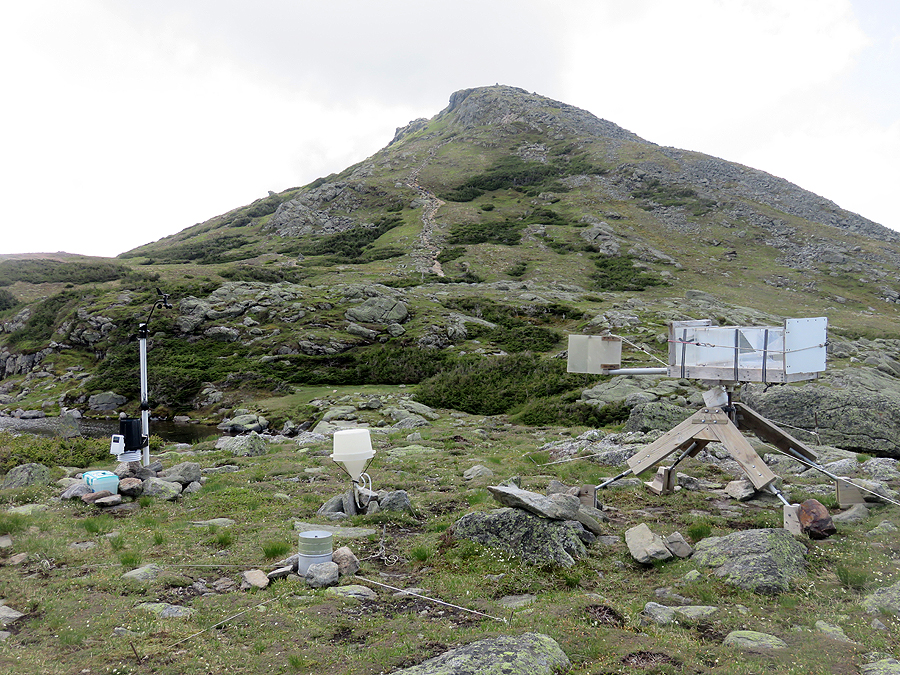
Near the hut, there is some weather data collecting going on
Hiking along the cog tracks
Kyle heading towards Mount Jefferson
Mount Washington and the Great Gulf headwall, (top and bottom left) Mount Jefferson (bottom right)
Mount Adams as seen from Monticello Lawn
Monticello Lawn, Mount Clay and Washington
The Great Gulf headwall and Mount Washington
Mount Adams in and out of the clouds, As seen from Mount Jefferson's summit
Hiking down the Caps Ridge Trail
The Caps ridge trail heads up three caps, this one has some rock scrambling and is the most fun!
The Ridge of the Caps
Glacial potholes
Hiking down Jefferson Notch Road
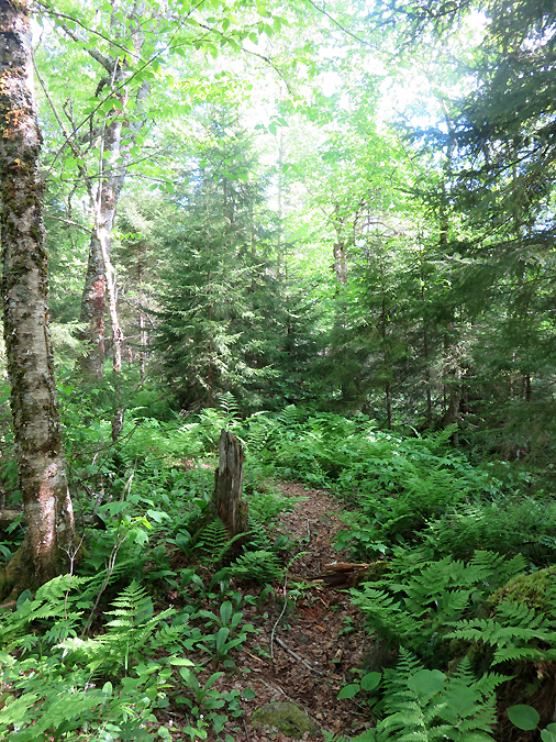
Boundary Line Trail
Elevation over distance profile
No comments:
Post a Comment