
Date of Run: 10/8/15
Hancock Notch Trail: 1.7 miles / Cedar Brook Trail: 0.6 miles / Hancock Loop Trail: 4.2 miles / Cedar Brook Trail: 0.6 miles / Hancock Notch Trail: 1.7 miles
Total Miles: 8.8 (2,625 feet elevation gained) Garmin Forerunner 910XT
Trip Report:
- Foliage is just about peaking in Lincoln and along the Kancamagus Highway making for a spectacular drive up and over the pass. Friday the weather was absolutely perfect for a late afternoon run so on my way along the Kanc I stopped at the hairpin turn to head up the Hancocks.
- Trail running the Hancocks is a great test for a runner, as it has all types of conditions. There's a relatively flat twoish miles along the Hancock Notch and Cedar Brook Trail to the Hancock Loop Trail junction. Footing through here is mostly excellent, and there's even a new reroute that avoids two water crossings and and an awful eroded muddy / standing water section. It's the end of an era, I've watched this part of the trail go from six, to four, and now to two water crossings over the years!
- Once hooking onto the Hancock Loop Trail the footing becomes more rocky with roots, the grade becomes more consistent but is only moderately steep as it ascends about a mile to the north and south link junction. From here the Hancock Loop Trail becomes one of the steepest sections of trail in the White Mountains for the next half to three quarters of a mile. The footing is awful, the North Link has odd shaped rocks, which are 'moving' in spots, and where there are no rocks there are roots. The south link is almost exactly the same except there are no moving rocks. I decided to go up to South Hancock first, only becomes it seems much shorter to me than heading up to North Hancock. The reality is it's maybe a tenth or two tenths of a mile shorter.
- From South Hancock to North Hancock is a beautiful ridge run of about a mile and a quarter. The footing is excellent over a dirt and pine needle blanketed path while the descent and ascent are tame and easy to motor up and down. In the late afternoon the shadows from the sun dropping and bouncing off the pine trees made for quite a cool scene as the forest was half lit up and half shaded.
- North Hancock has a great outlook where you get a nice view over to South Hancock, the Osceola's, and Scar Ridge. Just like Mount Tecumseh, someone has illegally cut trees here over the past few years making the view even grander.
- The descent down from North Hancock is more of a cautiously fast hike than anything that resembles a run. One misstep along the upper section can result in a quick fall that would leave a hiker bruised and battered. I carefully 'tap danced' my way down the upper section before making my way back to the north/south link junction.
- From here I was back on more manageable running terrain and I made sure to snap pictures along the way because it was such a nice day out. Funny thing was the best foliage was from the trailhead, but the leaves in the approach to the Hancocks will be peaking soon enough too. :)
View from the parking lot along the Kancamagus
The new reroute is so soft...and dry!
Heading up the eroded south link of the Hancock Loop Trail
Pretty path along the ridge between the two peaks as the sun cuts through the trees
South Hancock as seen from North Hancock. In the background are the Tripyramids along with Whiteface and Passaconaway (The Sandwich Range)
Dropping down the north link of the Hancock Loop Trail. Right before you reach the north/south link junction if you look back you can see the Arrow Slide. A great off trail slide to scramble up!
The nice run out along the Hancock Notch Trail
Beautiful colors at the hairpin turn!
Perfect late afternoon fall day
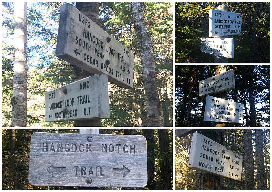
Signs spotted along the way
Time, elevation, splits, click here for more details
No comments:
Post a Comment