Date of Hike: 2/1/14
Lincoln Woods Trail: 2.9 miles / Bondcliff Trail: 7.9 miles / West Bond Spur: 1.0 miles / Bondcliff Trail: 7.9 miles / Lincoln Woods Trail 2.9 miles
Miles: 22.8 (4,800 elevation gain)
Trip Report:
- Four years ago in 2010 it was my first year of winter hiking. I enjoyed all my hikes, some more than others, one in particular stuck out as my favorite, an early February hike of the Bonds. Back then I carried a much bigger pack, which usually included crampons, ice axe, lots of extra clothing, over three liters of water, twenty-four ounces of Gatorade, etc. That day I had incredible weather with views that went on forever. Click here for that trip report.
- Four years later I got to re-live the hike all over again. I'll let the pictures do the talking for this report, enjoy!
East Branch Pemigewasset Suspension Bridge at the Lincoln Woods Trailhead.
Lincoln Woods Trail, it used to be a railroad, the corridor is very distinct in this picture
Small reroute of the Lincoln Woods Trail. Hurricane Irene and tropical Storm Sandy Pants damaged the banks into the river causing a landslide into the river
The Franconia Brook footbridge, The stone foundation is what is left over from an ancient railroad trestle
Iced of Franconia Brook
The old 'Wilderness Trail' it is now part of the Bondcliff Trail
This used to be where the Bondcliff Trail began and the Wilderness Trail kept going straight. The Wilderness Trail is now abandoned but still sees traffic
First crossing of the Black Brook on the Bondcliff Trail
Second crossing of the Black Brook on the Bondcliff Trail
Heading up the Bondcliff Trail, low snow levels for mid winter
landslide section of the Bondcliff Trail
Final water crossing on the Bondcliff Trail
Usually the snow is a couple of feet higher and the trees are covered in snow
snow levels increasing as the trail gains the ridge
A short steep burst up to the Alpine Zone
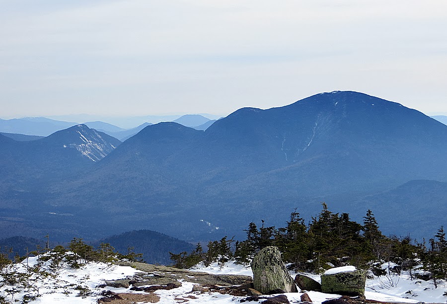
Owl's Head and the Franconia Ridge. This is a view to die for, after hiking for nine miles you are rewarded with a remote and wonderful view into the Pemigewasset wilderness
Osceola's, Scar Ridge, and Loon Mountain
Mount Garfield
The classic Cliffs of Bond image. Bondcliff, West Bond, and Bond
Bondcliff summit flats
Bondcliff Trail gradual descends to the Bond / Bondcliff Col
Bright sun shining through an overcast sky
Hancocks and Carrigain
West Bond
Hellgate Ravine, Owl's Head, and Franconia Ridge
Owl's Head and the Franconia Ridge
Winter haze over the Osceola's
Bondcliff from Bond
Mount Tom, Field, and Willey with the Presidential Range looming off in the distance
Mount Washington
Mount Clay
Mount Jefferson, if you know where to look you can see the Ridge of the Caps, and the Castellated Ridge
Mount Monroe, Washington, Clay, and Jefferson
Mount Carrigain
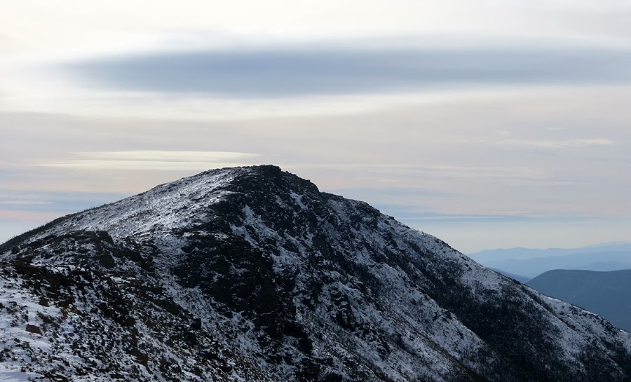
Bondcliff
Haze over the Greeley Ponds Valley
West Bond from Bond
The Lincoln Slide
Bondcliff Trail descending from Mount Bond
Bear Pond in Redrock Ravine
West Bond Spur Path
West Bond Summit
Bondcliff from West Bond
Mount Bond
Bondcliff Ridge
Scar Ridge and Loon Mountain
Mount Garfield and the Garfield Ridge to Mount Lafayette
Mount Garfield from West Bond
The slides of the Twin Range
Mount Guyot
Mount Jefferson
Carrigain Notch, Vose Spur and Mount Lowell
Mount Chocorau poking out to say hi!
Alpine Zone on Mount Bond
Clouds forming over Mount Washington
Mount Bond's summit
Bondcliff Trail, heading to Bondcliff
The exposed ridge of Bondcliff
Bondcliff
The sun being stabbed by a shadow above Bondcliff
Bondcliff
Looking out towards East Osceola
Mount Liberty and Flume Mountain
Approaching Bondcliff's summit
Franconia Brook and Bondcliff Trail Junction
Pemigewasset Wilderness Boundary
Franconia Brook
Lincoln Woods Trail


Wow. Those were some stunning pics. I was over on Lincoln and Lafayette that day, enjoying the weather too.
ReplyDeleteOutstanding Chris as ususal. My first trip to the Pemi was last summer and did not include the Bonds. Will be back this year to finish the loop.
ReplyDeleteThanks!
-Les
I am a frequent visitor to your hiking blog. Hope to get to the Bonds (Bondcliff at the very least) this winter, These photos have made the wish stronger! What camera was used to take these photos? Echo of previous post - stunning. Thanks.
ReplyDelete-B in RI
Hi B! Glad you liked the pictures and report. I hope you are able to hike the Bonds this upcoming winter and have a day with big views up there. It's such a special place to go to in the winter!
DeleteThe camera I used for this hike I believe was a Cannon Powershot 700 series. It had an excellent zoom I used for this hike to get close ups of Washington, Lafayette, etc. For close up shots, or shots without zoom the newer iphones are better than the Cannon powershots now-a-days, but for zooming I'd still go with a digital camera. :)
Thank you, I too have a Cannon (PowerShot SX500), it takes good photos, but yours is an upgrade. I've now climbed all of the NH 48 4Ks. The Bonds are favorites, I WILL make it up there in winter this year. Cheers.
Delete