
Date of Hike: 9/11/21
Stony Brook Trail: 3.6 miles / Carter-Moriah Trail: 6.0 miles / Road Walk: 1.0 Miles / Pine Mountain Trail: 2.7 miles / Ledge Trail: 1.0 miles / Pine Link Trail: 3.5 miles / Watson Path: 0.3 miles / Osgood Trail: 0.5 miles / Daniel Webster Scout Trail: 3.6 miles / Imp Trail: 3.1 miles / North Carter Trail: 1.2 miles / Carter-Moriah Trail: 2.6 miles / Stony Brook Trail: 3.6 miles
Total Miles: 34.5 (12,600' elevation gained)
Trip Report
- Future MMD route that will begin and end at my house! Enjoy the pics.

Elevation over distance profile

Hiking up the Stony Brook Trail, it's a mix of soft and easy to rocky and slippery

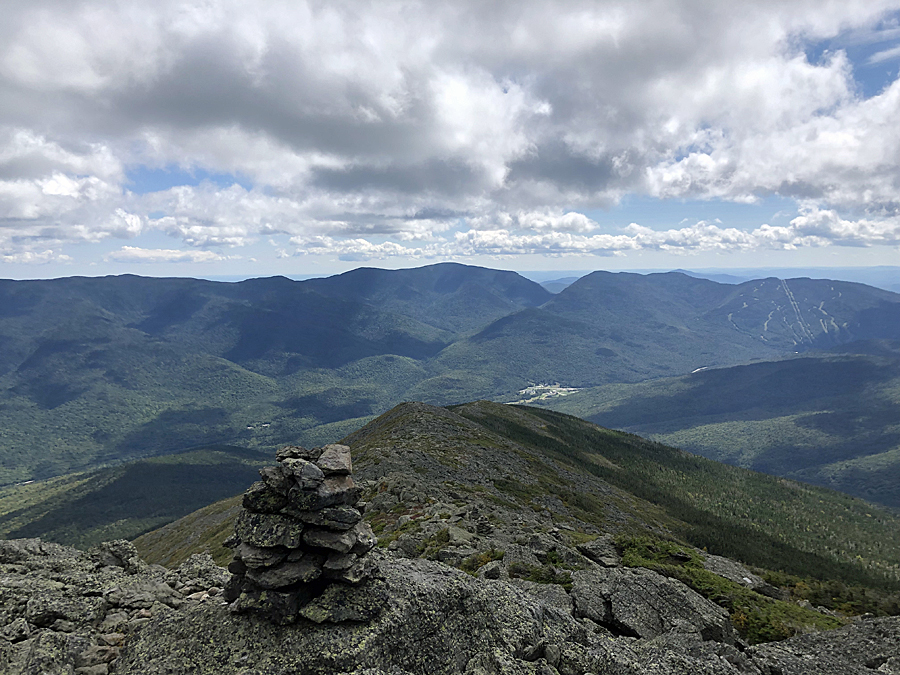
Presidential Range in the clouds except for Madison

View from the Carter-Moriah Ledges of the Carter Range

Carter Range and the clouds engulfing the northern Presi's

Early morning views from the ledges leading up to Mount Moriah

View from Mount Moriah's summit of the Carter Range

Looking southeast to the Wild River Wilderness and the Baldfaces

Descending the Carter-Moriah Trail

Some very slippery bog bridges

Mount Madison is still the only presi peak in the clear

Grand Trunk Railway in Gorham, NH

Hiking along the clear cut to the Pine Mountain Trail

Chapel View lean-to, part of the Horton Center

Looking over to Chapel Rock

Pano of where I've came from, down in the valley is my house with Mount Moriah rising above it with the edge of town off in the distance too

Pine Mountain summit, a fine view if the old tower was still standing.

View from Pine Mountain ledges looking south towards Pinkham Notch

Pano of Madison and the Carter-Cats range

Mount Madison

Hiking along the Horton Center access road to Pinkham B Road and the Pine Link Trail

View of Madison from one of the Howks

Pine Link Trail, slippery when wet!

Looking down at the Howker Ridge, Pine Mountain, Mount Moriah, and my house!

Flags on the 48 to in honor of the lives lost on 9/11
Osgood Ridge and Carter Notch (Carter-Cats Range)

Descending the Daniel Webster Scout Trail, very tedious above treeline

My house is somewhere down there!

Pano of where I was hiking this morning

Dolly Copp Campground

Small cascade on the Imp Trail, a favorite swimming spot for Sarge

Madison, Adams, Jefferson, and Clay in the clear, Washington almost there!

Descending North Carter, not for the faint of heart

One last view of where I live and Pine Mountain

Trails taken along the way
No comments:
Post a Comment