
Date of Hike: 9/4/11
Howker Ridge Trail: 4.2 miles / Osgood Trail: 0.7 miles / Star Lake Trail: 1.0 miles / Lowe's Path & Israel Ridge: 0.3 miles / Gulfside Trail: 1.5 miles / Mount Jefferson Loop: 0.7 miles / Gulfside Trail: 0.7 miles / Mount Clay Loop: 1.2 miles / Gulfside Trail: 1.1 miles / Crawford Path: 1.5 miles / Mount Monroe Loop: 0.7 miles / Crawford Path: 1.5 miles / Mount Eisenhower Loop: 0.8 miles / Crawford Path: 1.2 miles / Webster Cliff Trail: 2.6 miles / Webster-Jackson Trail: 2.5 miles
Total Miles: 22.2 miles (10,250' elevation gained)
Trip Report:
- On Saturday Todd finished the New Hampshire 48 - 4,000 footer Grid. A couple fun stats from Todd's Strava - 1105 total NH 4Ks, 134 Washingtons, 5 months between 575 and 576.
- It was a throwback summer day along the Presidential Range with temperatures in the mid 40's to low 60's with early morning gusts around 40MPH that died down into the 20's by the time we hit the southern peaks
- It was a stunning day for the gang as we followed Todd across the range to Jackson for his final peak. Enjoy the below pics of the final trek!

The hike up Howker Ridge is quite the grind, rough footing with plenty of up and downs

Breaking into the open on one of the Howks with Mount Madison in view

The gang on the summit of Mount Madison

Todd, Nate, and Kristina passing by Star Lake with the summit cone of Mount Madison rising up behind them

Todd leads the way up the Star Lake Trail

Just before reaching the summit there is a fun narrow scramble to get up and over

Todd and Nate approach the summit as the clouds quickly fly by and break apart

Kristina and Rich charge up to the summit of Mount Adams

View of Madison from Adams

The gang heads down Lowe's Path toward Thunderstorm Junction

Out of the clouds for good as we head to Mount Jefferson

Hiking up the Mount Jefferson Loop Trail

Taking a break on the summit of Mount Jefferson

Up next, Mount Clay

Crossing Monticello Lawn

On the Mount Clay Loop Trail

Rem runs down the trail off Mount Clay's summit

The Great Gulf headwall looms large from the southern shoulder of Mount Clay

Next up, Washington

Along the Gulfside Trail with the Cog Railway and Mount Monroe dominating the background

Looking back at where we just came across (Clay, Jefferson, Adams, Madison)

Rich, Matt, and Rem hike past the big drop off into the Great Gulf Wilderness

Choo Choo!

No summit pic on Washington, it was a zoo. Todd, Nate, and Kristina descend Crawford Path

The gang passes by Lakes of the Clouds

Rich, Kristina, and Matt head up to Mount Monroe with Lakes of the Clouds and Mount Washington behind them

Descending Mount Monroe

After rock hopping the boulder field of the northern Presi's, the softer footing of the southern Presi's is a nice reprieve over the second half of the hike

Trail running over the "Presidential Lawn" just south of Mount Franklin

Heading to Mount Eisenhower

Heading up the Mount Eisenhower Loop

Rich and Todd reach Mount Eisenhower's summit
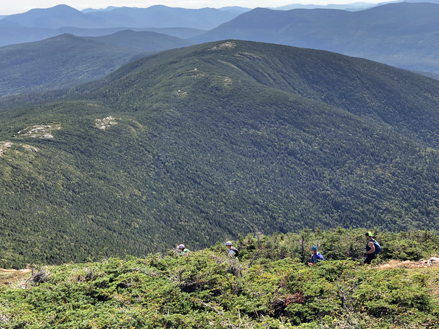
Descending off Mount Eisenhower's summit cone with Mount Pierce in view

Making our way to the summit of Mount Pierce

Todd on Mount Jackson finishing the Grid. Huge congrats on a great accomplishment!!

The gang on Mount Jackson

Three Grid Finishers; Nate, Todd, myself
No comments:
Post a Comment