
Date of Hike: 5/26/16
Tuckerman Ravine Trail: 0.3 miles / Boott Spur Trail: 3.0 miles / Davis Path: 5.7 miles / Glen Boulder Trail: 2.8 Miles / The Direttissima: 1.0 miles
Total Miles: 13.0 miles (5,390 feet elevation gained) Garmin Forerunner 910XT


Tuckerman Ravine Trail: 0.3 miles / Boott Spur Trail: 3.0 miles / Davis Path: 5.7 miles / Glen Boulder Trail: 2.8 Miles / The Direttissima: 1.0 miles
Total Miles: 13.0 miles (5,390 feet elevation gained) Garmin Forerunner 910XT
The hike up to treeline along the Boott Spur Trail is quite steep and rough at times. Luckily, there is a new ladder step that has been installed as the old one was rotting away. Kyle, Marta, and her dog Misha went the hard way and scrambled to the side of it!
Tuckerman Ravine as seen from Harvard Rock
Lower bowl of Tuckerman Ravine, still some snow left but it's melting fast
Huntington Ravine off in the distance
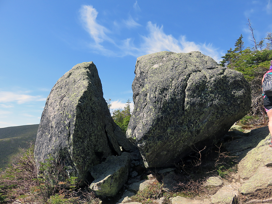
Split Rock
Hiking above treeline on the Boott Spur Trail is phenomenal
Tuckerman Ravine and the summit cone of Mount Washington
Heading up to the Boott Spur
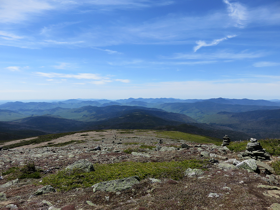
Looking back down the Boott Spur Trail at an expansive alpine lawn
Hooking onto the Davis Path and hiking South towards Isolation
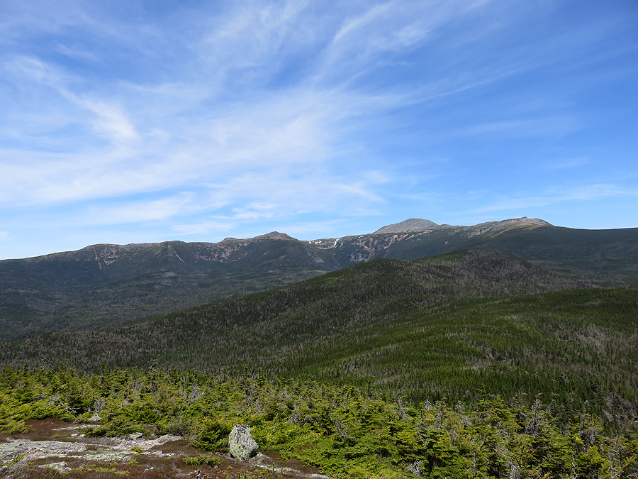
The Davis Path, beautiful views in all directions!
Back below treeline on the Davis Path. Lots of dead trees and destruction right off the trail
View from Mount Isolation
A great day above treeline on the Davis Path and Glen Boulder Trail
Pinkham Notch, looking north (top), looking south (bottom)
Glen Boulder
Elevation over distance profile. Our goal for the day, Isolation, was quite lower than our approach and exit!
No comments:
Post a Comment