Date of Hikes: October 8th & 15th, 2016
Pemi East Side Trail: 5.1 miles / Wilderness Trail 1.5 miles / Thoreau Falls Trail: 2.0 miles / Abandoned Thoreau Falls Trail: 0.8 miles / North Fork RR Spur & Bushwhack: 1.9 miles / Abandoned Thoreau Falls Trail: 0.8 miles / Thoureau Falls Trail: 2.0 miles / Wilderness Trail: 0.9 miles / Abandoned Wilderness Trail: 0.8 miles / Bondcliff Trail: 1.8 miles / Pemi East Side & Pine Island Trail: 3.0 miles
(Total Miles 20.6)
Nancy Pond Trail: 7.1 miles / Carrigain Notch Trail: 1.6 miles / Wilderness Trail: 2.6 miles / Thoreau Falls Trail: 2.0 miles / Abandoned Thoreau Falls Trail: 1.0 miles / North Fork RR Spur & Bushwhack: 0.6 mils / Thoreau Falls Trail: 2.1 miles / Ethan Pond Trail: 2.6 miles / Zealand Trail: 2.5 miles
(Total Miles: 22.1)
Trip Report
- The past two Saturday's I have stayed at relatively low elevations to get in some quiet foliage hikes while checking out a few of the railroad campsites from the J.E. Henry's East Branch Railroad that was in existence between 1893 - 1948. While hiking deep into the Pemigewasset Wilderness I also made a few off trail excursions over abandoned short sections of two trails, the Wilderness and Thoreau Falls trails.
- On Saturday the 8th, I started early from Lincoln Woods trailhead and hiked the Pemi East Side and Wilderness trails to the Thoreau Falls Trail. Along the Thoreau Falls Trail I passed by the first old camp of the day, Camp 22, which has a clearing filled with thorns and hobblebush, along with small piles of rusted cans and railroad items leaning up against trees. The most interesting pile of this junk is actually found in a small dried up drainage, if one pokes around there is some pretty odd stuff you might stumble upon.
- About a mile after Camp 22 the Thoreau Falls Trail used to cross the North Fork for 0.8 miles and then recross, but this was rerouted in the late 70's to avoid these two crossings. Luckily the abandoned section of trail is in excellent shape albeit for numerous step-over blowdowns. The reason this abandoned section hasn't been taken back over by the woods is it used to follow the old North Fork railroad grade which basically stunted any growth other than a few scraggly bushes and tiny trees.
- There are two really cool spots along this old section of trail, first is the site of New Camp 22, where there is a small clearing and a wide variety of old railroad relics spread throughout the area. There are several cans and buckets, a big barrel, old shoe soles, horseshoes, bottles, etc. All this stuff is rusted but really cool to look at.
- After exploring the camp I then continued along the old trail for a few tenths of a mile where I reached a memorial plaque in remembrance of two doctors who died here long ago. On February 21st, 1959, Ralph Miller and Robert Quinn, were involved in a plane crash deep in the Pemigewasset Wilderness. They survived for four days before succumbing to the extreme winter conditions. They left a journal of their struggle to survive which was found shortly after their plane was finally spotted more than two months later on May 5th (
click here to read the full story).
- Soon after the memorial the old trail reaches Jumping Brook, from here the trail/RR grade recrossed the North Fork rejoining the current trail. Before crossing the river there were some old relics from Camp 23 located at a makeshift campsite but not much else. Instead of crossing the river I continued onto a railroad spur which stayed to the west of the river for just a few tenths of a mile hoping to find Camp 23 clearing and other relics. I followed the grade until its end at a big swamp and doubled back to Jumping Brook. Unfortunately, I could not find a clearing for Camp 23, while I did walk around through some open areas that could have been where Camp 23 was situated, they were lacking the thorn bushes that usually take up residence in these clearings, and there were no other rusted pieces of junk to be found.
- Once back at Jumping Brook, I followed the old trail across the river and into a section flooded by beavers. I had been down here before, but on the other side of the beaver swamp which is located just downhill from the trail. I decided not to cross and just poked around off trail for a bit before turning back, returning to Jumping Brook, going back along the old trail, and recrossing the North Fork to the trail.
- On my way out I stopped at the old site of the North Fork / East Branch Trestle, located a few hundred feet from the Thoreau Falls Bridge. It's quite a nice spot with a little picturesque campsite.
- I still had a long walk back to the car from here, but luckily I wouldn't have to retrace all of my steps. When I reached the site of the former Wilderness Trail suspension bridge I decided to cross the East Branch and hook onto a recently abandoned section of the Wilderness Trail, a 0.8 mile stretch between Black Brook and the old site of the bridge.
- Since there has been almost no rain for the past three months the usually difficult and sometimes dangerous crossing was an easy boulder hop, of course with that being said I fell in the water! It was a half dunk and felt refreshing, although it was quite embarrassing as there was a hiker relaxing at the old trestle foundation with his dog. He must have thought I was some goofy trail runner who was lost considering I was going ultra-light for the day...
- Just like the abandoned Thoreau Falls Trail, this section of old trail was over the railroad grade so it's in great shape, and since it was closed about five years ago there are only a few step over blowdowns. The old trail ends at the Camp 16 clearing on the Bondcliff Trail just a few hundred feet from the Black Brook Trestle which is still standing strong, if Tropical Storm Irene couldn't put a dent in this thing nothing probably ever will.
- After checking out some of Camp 16 relics I hoofed it down the Bondlciff Trail back to the wilderness boundary making a quick stop at Camp 15. There's not much to be found here just a couple of rusted things, and there are no thorn bushes or hobblebush like the other clearings which gives me hope that I did walk over Camp 23 earlier in the day.
- When I reached the wilderness boundary I knew that the final three miles along the Lincoln Woods Trail would be a crowded so I crossed the East Branch and took the East Side and Pine Island trails back to the Jeep.
- It was a great day hiking through the foliage and exploring the old camps deep in the Pemi and I couldn't wait to get back out there the following weekend.
- On Saturday the 15th, Kyle and I spotted a car at Zealand trailhead and drove over to the Nancy Pond trailhead to hike one of the best foliage hiking trails.
- There are few views better than from Norcross Pond and its outlet. It looks right down into the Pemigewasset Wilderness and there is a real sense of remoteness which just keeps increasing as the trail drops down from the pond to the floor of the Pemi Wilderness. The trail was littered with leaves and the trees looked beautiful as we headed towards Stillwater Junction over the Nancy Pond and Carrigain Notch trails. Along the way we passed Camp 19 clearing, here we poked around a little but not too much as the thorn bushes were everywhere, this would probably be a great spot to explore more in late April or early May before the bushes take over the clearing.
- When we reached Stillwater Junction we continued on the Wilderness Trail and checked out Camp 18 and the trestle just down the trail from it. Camp 18 is an interesting spot, there is an old rusted oven on the side of the trail, which is quite a quite a funny site. The clearing is like all the others, and if you poke around you can find some pretty cool stuff to look at.
- About ten minutes past the campsite we explored the trestle foundation, even crossing the river and finding a faint logging road and one rusted bucket. Most likely this trestle was here as a means for the trains not to cross the river but for it to maneuver around steep side hill.
- Next up we went to the Thoreau Falls Trail, Kyle had never been here and I wanted to show him the off trail stuff. We took the same course as I did the week before except when we reached the swamp at the end of the North Fork spur we pushed on through to see if there was anything past it, we went another 0.2 miles and founf nothing of interest except mud and blowdownsso we crossed the North Fork and hopped back on trail and up to Thoreau Falls.
- From here we had a mostly easy and flat five mile walk back to the car through Zealand Valley through a great section of the Appalachian Trail that passes under Whitewall Mountain.
- The foliage is still going strong in most places over the twenty miles we hiked, however the leaves are falling fast so it will not be this type of pretty too much longer, it will still be pretty just a more rugged pretty. :)
***Just a reminder to those unfamiliar with the camps, you are not allowed to take any of the relics out of the wilderness, so do not take these things home. Yes, it's rusted junk left behind from the 1940's but just leave it be.***
Starting off hiking over relatively flat terrain along the Pemi East side Trail on a crisp Autumn morning
After a few miles I reach the Pemigewasset Wilderness boundary and continue on
The Pemi East side Trail passes right along the East Branch and by a few nice swimming holes with great views
The East Branch of the Pemigewasset River. Notice the massive erosion of the river bank, a reminder of the destruction from 2011 Tropical Storm Irene
Thoreau Falls Bridge, it's endangered and may be taken down within a year or two. Hopefully it will be allowed to stay.
Thoreau Falls Bridge
Approaching the Camp 22 clearing
Some cool relics just off the side of the trail
Some more old rusted tools and parts
Camp 22 clearing
The famous bucket tree! This is located about ten feet off trail just a few minutes past Camp 22
After hiking two mile along the Thoreau Falls Trail, I cross the North Fork, and hooking onto the abandoned section of trail
1955 guide book map, kind of hard to tell but here you can see the old trail crosses the river, then recrosses and you can see the railroad spur that I jumped on.
The abandoned section of trail, still very distinguishable
New Camp 22 relics
A closer inspection of the parts left behind
So much junk to take pictures of!
Horseshoes!
Old bottles, the one in the middle says Lysol on it and still had an extremely potent smell that will snap your head back!
Once past New Camp 22, the old trail becomes a little more narrow but still really easy to follow
The plane crash memorial plaque
The tiny area where the memorial is
Camp 23 relics, these were piled up at a makeshift campsite at the Jumping Brook - North Fork confluence.
Instead of recrossing the North Fork, I continue onto a railroad spur
The spur is mostly easy to follow
The spur ends at a swamp, which looks a lot like the Dagobah System from Star Wars :)
Jumping Brook, with the lack of rain it's 95% rocks and sand
Near the old crossing of the North Fork is a random rail just below a flooded beaver pond
The North Fork
Eager beavers!
On the way back to the Wilderness Trail I check out the North Fork Trestle, this structure is located a few hundred feet from the Thoreau Falls Bridge
North Fork Trestle
A real nice makeshift campsite
Thoreau Falls Bridge
Beautiful foliage all around the river
Old pipe and coal shovel (I think) at a tiny brook crossing
Heading to the former site of the Wilderness Trail suspension bridge
The old cement abutments from one of the coolest wilderness bridges :(
Old trestle foundations
Looking across the East Branch from one side to the other. Above where the bridge was and at river level
Along with the cement abutments, these small random parts are all that remains
After crossing the East Branch I travel along a recently abandoned section of the Wilderness Trail
Black Brook Trestle
The trestle is still holding strong, the stuff on top I wouldn't walk over however
Black Brook Trestle
Close up of the trestle
Camps 16 relics
Two of the heavier pieces left behind
Hiking along the lower end of the Bondliff Trail, which used to be part of the Lincoln Woods Trail, which originally was all part of the Wilderness Trail!
Camp 15 relics
On the way out I recrossed the East Branch and took the Pine Island Trail and then stayed on an old section of the Pemi East Side Trail
--------------------------------------------------------------------------------------------
Hiking up to Nancy Cascade, up a nice graded trail and past Lucy Mill
Norcross Pond
Nancy Pond and the Pemi Wilderness
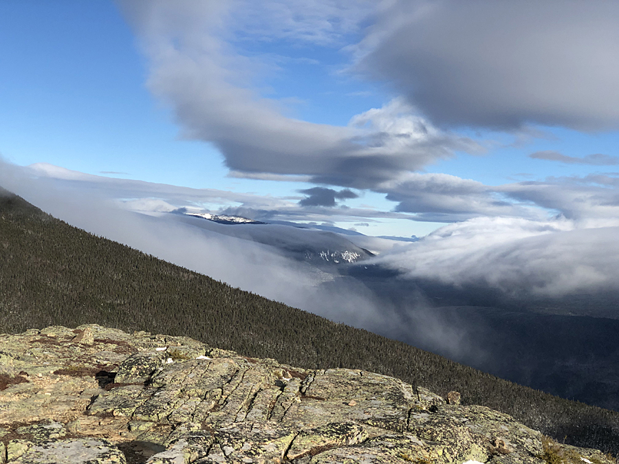
Looking down into the Pemi from Norcross Pond outlet
Heading down the beautiful Nancy Pond Trail
Norcross Brook
The Nancy Pond Trail is a beautiful path over old railroad grades
Camp 19 clearing and more spots along the trail
Camp 18 relics
Old rusted log roller among other items
More old rusted stuff at Camp 18
Trestle #18
Old rail that washed into the East Branch
Wilderness Trail
Hiking the Appalachian Trail through Zealand Valley
The old Zealand Valley Railroad grade below the cliffs of Whitewall Mountain
Ethan Pond Trail
Zealand Trail