10/7/21: Humphreys Trail: 10 miles (3,500' elevation gained)
10/17/21: Humphreys Trail: 6.6 miles / Bushwhack: 0.3 miles / Ski Trails: 1.9 miles
Total Miles: 8.9 (3,500' elevation gained)
Trip Report:
- While staying in Flagstaff we were able to get up to the highpoint of Arizona twice, both times via the Snowbowl. I was hoping to check out the Weatherford Trail for the second ascent but it was two days after our second R2R2R, so our legs were not ready for another long mile day and there was still plenty of lingering snow left below treeline all the way to the ridge which would have made for slow going on trails we were unfamiliar with.
- Todd an I got up to the summit on the 7th before the snowstorm so below treeline was easy going up through the long and seemingly never ending switchbacks up to treeline. Above treeline there was some snow and ice from a small higher elevation storm from a previous day but it was easy going above treeline and the winds were almost non existent which is a rarity for Humphreys Peak.
- Views along the ridge and summit were phenomenal and the Aspen trees near peak foliage made the sites even prettier.
- Temps were in the mid to high 40's with sunny skies to begin the day with some high clouds rolling in as we made our way back down. We trail ran the descent back to the trailhead, with me "Supermaning" on a flat dirt section just a few hundred yards from the Jeep. Quite the way to end a hike!
- Ten days later we headed back with Whitney. Temps were a little cooler, in the low 40's, but the wind was whipping making it an invigorating hike at times.
- The hike to treeline was mostly over a slick packed snowy trail which none of us were looking forward to heading back down later in the day. Once above treeline we battled the wind across the ridge to the summit, luckily there was less snow along the ridge than ten days ago which made rock hopping through the wind easier than anticipated. The last few hundred feet up the summit cone the wind was howling so once summitting we snapped a few pics and got the heck out of there and made our way back across the ridge to treeline.
- When we reached the switchbacks and the snow covered trails I took us on a shortcut off trail to the ski slopes, this is the same shortcut Whitney and I did in 2017 to avoid the long slog back out over the slick trails.
- The bushwhack was open and easy and we made it to the ski slopes in about ten minutes where we enjoyed a much easier and faster hike back to the Jeep.
Sarge above treeline on the Humphreys Trail
Looking down into the Inner Basin
Todd and Sarge taking in the 360 degree views
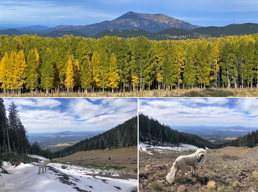
Aspens closing in on peak foliage down at lower elevations in the Inner Basin
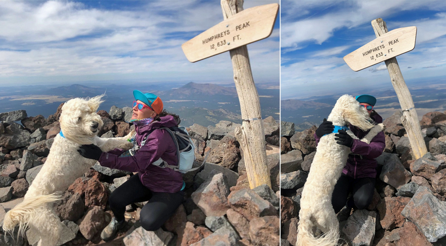
Summit photo with the pup
Sarge greats mommy with a kiss at the summit
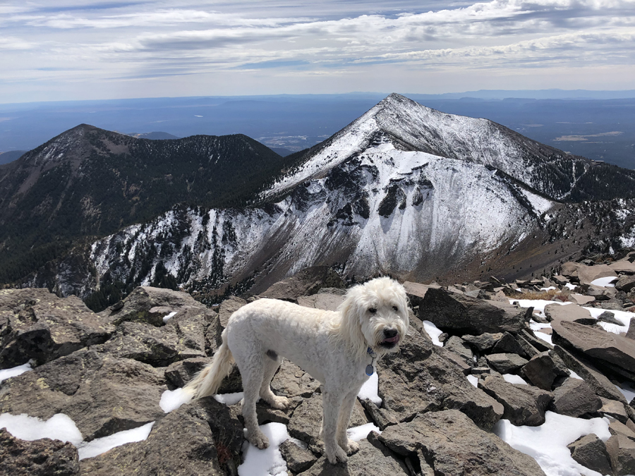
Agassiz Peak in snow and Freemont Peak with almost no snow behind Sarge
Jumping on the ski trails and looking northwest towards Kendrick Peak


No comments:
Post a Comment