
Date of Hike: 11/10/13
Nineteen-Nile Brook Trail: 1.9 miles / Carter Dome Trail: 1.9 miles / Carter-Moriah Trail: 4.6 miles / Carter Dome Trail: 1.9 miles / Nineteeen Mile Brook Trail: 1.9 miles
Total Miles: 12.6 (3,750 feet elevation gained)
Trip Report
- I had no hiking plans set for Sunday and when I saw that Rachel didn't get to do her Presidential Traverse with her friends on Saturday and was heading to the Carters with her dog Isis I jumped at the opportunity to join them for the first winter weather hike of the season. Click here for Rachel's blog
- The weather was pretty nasty overnight and the driving to the trailhead in Pinkham Notch was slow going but we both made it there and headed out down the Nineteen-Mile Brook Trail at 8:30 a.m.
- The trail was blanketed with about a fresh inch of snow which increased to about three inches up on the ridge. Our hike was a fun one as there was no wind and Isis was frolicking back and fourth from one side of the trail to the other, she enjoys sniffing everything every couple of feet!
- Isis is a Shiba Inu, is white just like Cole, except about half the size and female. Isis looks like a pine martin / dog hybrid!
- Even with the snow it really never felt too cold, we were shielded from the wind for every part of the hike except for the short semi alpine bog bridge section just below Middle Carter.
- The trail on the ridge was fun to navigate with the snow hiding the ice, roots, and smaller rocks. We managed to make it through unscathed, Rachel took a couple of falls but kept on ticking all the while holding onto Isis's leash. Isis had no issue at all navigating the snow. I hung in there, with only a few half slips here and there, my trail runners were tested, though. Probably should have switched to my boots but I had the toe heaters in my sock to keep the toes warm.
- For anyone hiking Middle and South Carter, the summits are not marked well at all. In fact once the snow starts falling the tiny cairn that marks Middle Carter will be buried right away. South Carter has a tiny wooden summit marker about five feet off the trail, nailed to a tree and it can't be seen from the trail. If I hadn't been up there, never looked online, and just relied on the guide book and map, I probably would have a hell of a time locating them.
- Once we got back to Zeta Pass, Rachel said we should head to Carter Dome. We started up the long side hill ramp like trail to Carter Dome. Within a few minutes we passed the junction where the A.T. bangs a left and steeply ascends to Mount Hight. We continued on for another couple of minutes when Rachel said she wanted to turn around. Her and Isis had reached there limit for the day so we headed out the way we came.
- It was a nice walk out, the lower section of the Nineteen-Mile Brook Trail was now snow free which made the final two miles a breeze. It was a fun hike, I hadn't seen Rachel since heading up to Moosilauke with her and Scott way back in June. It was a pleasure to hike with her and Isis, who is a total snow pup!
Snowy morning at the Nineteen-Mile Brook Trailhead
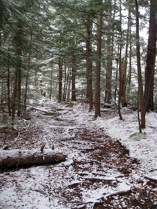
Nineteen-Mile Brook Trail
Ascending the Nineteen-Mile Brook Trail
Rachel helping Isis across a stream
Carter Dome Trail Junction
Isis!
Carter Dome Trail
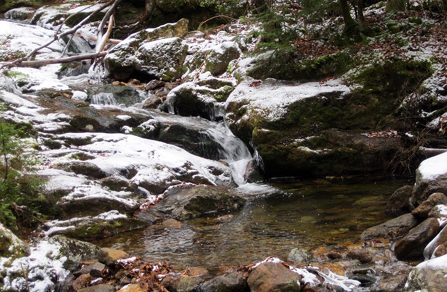
Tributary brook for the Nineteen-Mile Brook on the Carter Dome Trail
Isis waiting for the motion to start hiking again
Queen of the snow pups!
Zeta Pass
Grouse!
Carter-Moriah Trail
Isis making her way up to South Carter
Powdered nose shot!
South carter Summit
Rachel and Isis descending into the South and Middle Carter Col
Middle Carter
Middle Carter
Carter and Wildcat Ridge
Semi Alpine scrub section below Middle Carter
Sun trying to break through the clouds
Middle Carter Summit
Looking back to Middle Carter
Pine Mountain??
Wild River Wilderness and MAINE!
The Baldfaces
Mount Hight and Carter Dome
Below Mount Hight at the Carter Dome / Moriah-Carter Junction
Carter Dome mini gen pool
No comments:
Post a Comment