
Date of Hike: 6/23/12
Kinsman Ridge Trail: 4.0 miles, 2,100 elevation gain
Trail Conditions: Kinsman Ridge Trail is dry, with some lose gravel down low and rocky eroded steep footing the rest of the way. No Water sources on trail.


Kinsman Ridge Trail: 4.0 miles, 2,100 elevation gain
Trail Conditions: Kinsman Ridge Trail is dry, with some lose gravel down low and rocky eroded steep footing the rest of the way. No Water sources on trail.

Eroded Kinsman Ridge Trail

Heading up the Kinsman Ridge Trail

The ski glades of the Kinsman Ridge Trail

Cannon Mountain Tramway

Cannon Mountain Tram

Hiker carefully descending the Kinsman Ridge Trail

The steep and rocky Kinsman Ridge Trail

Picturesque Kinsman Ridge Trail

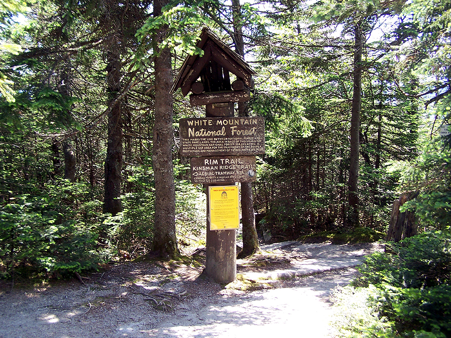
Trail info, stay off the ski trails or else!

Entering a sub-alpine zone on the Kinsman Ridge Trail

Mount Lafayette and Lincoln from the outlook ledges

Franconia Notch

Mount Lafayette

Cairn on the Kinsman Ridge Trail

Franconia Ridge from the Kinsman Ridge Trail

Kinsman Ridge / Tram Path Junction

Kinsman Ridge

North and South Kinsman

Mount Liberty

Mount Lafayette and Lincoln

Mount Lincoln

Mount Lafayette

Eagle Cliff

Franconia Notch

Top of Cannon Mountain ski slope and Mittersill Peak from the observation tower

Mittersill

Cannon Balls and the Kinsmans

Top of the ski slope

Cannon Moutnain ski area

Eagle Cliff

Presidential Range off in the distance

Observation Tower
Rim Trail Junction

Echo Lake

Echo Lake

Kinsman Ridge northern terminus

Kinsman Ridge Trailhead

Look who is in the driver's seat...woof!
No comments:
Post a Comment