Date of Hike: 6/6/11
Lake Road: 1.3 miles
Henry Goddard Leach Trail: 5.9 miles
Elk Pass Trail: 1.9 miles
Colvin Trail: 5.0 miles
Fish Hawk Cliffs / Indian Head Trail: 1.5 miles
Lake Road: 3.0 miles
Total Miles: 18.6 (6,000 elevation gain)
Trip Report:
- After an easy hike Sunday it was time to get back to hiking lots of miles with significient elevation gain and loss so I headed to the Colvin Range to hike four more of the 46 High Peaks.
- The trails to access these mountains start inside the grounds of the private Ausable Club were you walk on a private road by an old wooden gate and hike a little over a mile to the start of the Henry Goddard Leach Trail.
- The HGL Trail has moderate grades an decent footing but has a few ups and downs once gaining the ridge as it heads over Noonmark Shoulder, Bear Den Mountain, Dial, and a few minor sub-peaks. Views from Noonmark Shoulder of the Lower Great Range were pretty good.
- Dial and Nippletop both have decent outlooks as well over to the Great Range and some of the southern High Peaks.
- The hike down to Elk Pass was pretty steep and it was back to awful footing which I've been accustomed to in the ADK's. About a few tenths of a mile before the Colvin Trail I ran into two hikers headed up to Nippletop, they would be the only to hikers I'd see all day!
- Now it was time for part two of the hike, up to Colvin and over to Blake. The hike up to Colvin was steep at the beginning and end of the ascent to the summit. It started to rain for a few minutes eventhough the sun was out which felt refreshing.
- At Colvin's summit outlook I took a break and took in the views before the bugs started buzzing around me.
- Now it was off to Blake where I was in for a rude awakening as the trail lost lots of elevation down a few well placed ladders to the Colvin-Blake col where I'd then have to hike back up to Blake. It was pretty steep and unpleasent and Blake's summit is wooded so it wasn't to rewarding to say the least!
- Now it was time for the long hike back to the car, unfortunately I had to hike back up and over Colvin before it was back to descending most of the way.
- On the way back to Lake Road I took a side trip over the trails that passed by Fish Hawk Cliffs and Indian Head. The best views of the day were from these to outlooks as they are perched directly above Lower Ausable Lake where you can look down the steep drop offs down to the lake as mountains rise high above.
- Once back on the private Lake Road it was an easy hike back out to the car, it started to rain again and it was refreshing to cool off for a few minutes and a great way to end a nice long hike
Times: On trail 6:45am, Dial 8:50am, Nippletop 9:45am, Colvin 11:25am, Blake 12:10pm, Indian Head 2:10pm, finished 3:30pm
Pictures: Click here for all pictures
Lake Road Gate
Upper and Middle Great Range
Lower Ausable Lake
Basin and Saddleback Mountains
Indian Head
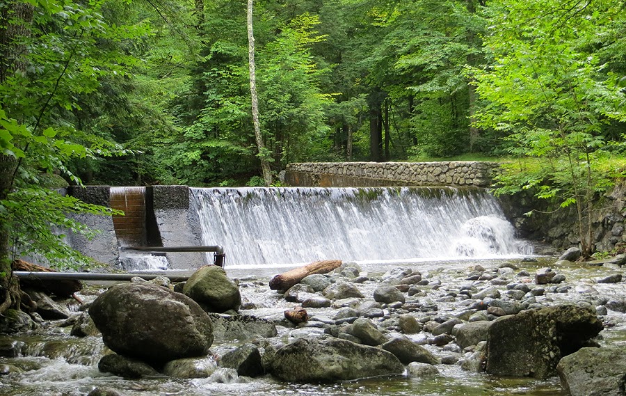
Lower Ausable River