Date of Hike: 11/13/16
Lincoln Woods Trail: 2.9 miles / Franconia Brook Trail: 2.5 miles / Bushwhack & Slide: 4.5 miles / West Bond Spur: 0.5 miles / Bondcliff Trail: 6.0 miles / Abandoned Wilderness Trail: 0.7 miles / Wilderness Trail: 0.8 miles / East Side Trail: 5.1 miles
Total Miles: 22.3 (4,613 feet elevation gained)
Trip Report
- When it comes to bushwhacking I consider myself to have a pretty good ability to locate off trail objectives I set for myself. However, over the past two years there is one off trail goal I have failed twice in finding, West Bond's Guitar Slide, which rises out of Hellgate Ravine. The slide is huge and I should have had no issues locating it and climbing it, but on my previous two trips I humorously missed the slide, once to the right and once to the left. My first hike I went under it and ended up on what I refer to as "Monster Slide - Left." The funny part about that hike was when I hit the slide I said to myself, "Hmm, I didn't think the guitar slide would be this excessively steep." My second excursion into Hellgate Ravine I didn't trust my instincts and ended heading up a small drainage that I thought was the beginning of the slide but wasn't. I ended whacking up the steep woods to the ridge literally just two tenths of a mile to the left of the Guitar Slide the whole time!
- Joining me on Sunday's adventure was my friend Kyle. We started at dawn from Lincoln Woods and made the easy hike along Lincoln Woods and Franconia Brook Trail. When we reached the crossing of the Hellgate Brook we jumped off trail and traveled along the brook, first on the right, then on the left. It was semi thick in spots but no too bad, we even traveled on an old logging skidder road for a little bit followed by a faint herd path near the brook at times too. After about two miles of following the brook I started angling us uphill, passing by the area where I made my mistake last year. Soon after this we popped out at the bottom of the slide, nailing the route in perfectly, I was pretty relieved and thrilled to have finally found it!
- As for the slide itself, it's pretty freaking awesome! It's huge, steep but comfortably manageable, but very loose rocks in spots with slab mixed in. If you're hiking in a due make sure you spread out as there's a high chance of jarring loose a decent sized rock sending it tumbling down.
- The slab part was mostly dry and had a lot of friction so it was easy to scramble, however there were some slime spots which are definite no scramble zones. There was very little ice except for near the top where we both easily avoided it.
- Views of Bondcliff's cliffs across Hellgate Ravine were unique and spectacular. Unfortunately the sun was positioned so I was unable to capture it in a photo, so you'll just have to adventure out there yourself to see what I'm talking about!
- Once above the slide we headed back into the woods and whacked through some initial thick stunted pines until reaching the westernmost part of West Bond's ridge. The ridge is always a mixed bag, some spots you can easily walk through and other spots you're fighting through pine. Eventually after about a half mile the summit of West Bond is reached.
- We didn't stay too long on the summit, the wind was whipping and we needed to warm up a little and change into dryer clothing after dealing with snow along the ridge. On the way off West Bond we ran into Matt, Patrick, Ian & Marlie doing a Zealand - Bonds Traverse. We chatted it up for a bit before heading on, it's always great to run into other experienced and great hikers out and about.
- The slide was definitely the highlight of the hike, but a close second was the hike along Bondcliff's exposed ridge. The wind gusts at times were ridiculously strong, probably gusting up to 55 MPH with sustained 40 MPH in spots, it was enough to makes us stumble around a little bit and gusts were almost fast enough to lean into and let the wind hold us up!
- Once back below treeline we quick hiked and trail ran back to the floor of the Pemigewasset Wilderness and the East Branch. At old Camp 16 we hooked onto a defunct portion of the Wilderness Trail, Kyle had never seen the Black Brook Trestle or the location of the old suspension bridge 0.7 miles down the abandoned trail. We took a nice break in the middle of the East Branch at the site of the old suspension bridge sitting on old trestle foundations. After the relaxing break we roamed around Camp 17 and found a few old railroad relics before making the long walk back to Lincoln Woods finishing at dusk.
- It was a great day deep in the Pemi with perfect weather for a mid November off trail adventure. I'm sure I'll head back to the slide again with Whitney next year, with the comfort of knowing how to find it! :)
Secret hand drawn map through Hellgate Ravine to the Guitar Slide to help lead the way!
Blue was my first trip through here, where I undershot the slide and ended up on Monster Slide - Left. Yellow was my second time through, where I hit a tiny drainage thinking it was the start of the slide, swing and a miss! Red is the route from this past Saturday, third time is a charm! :)
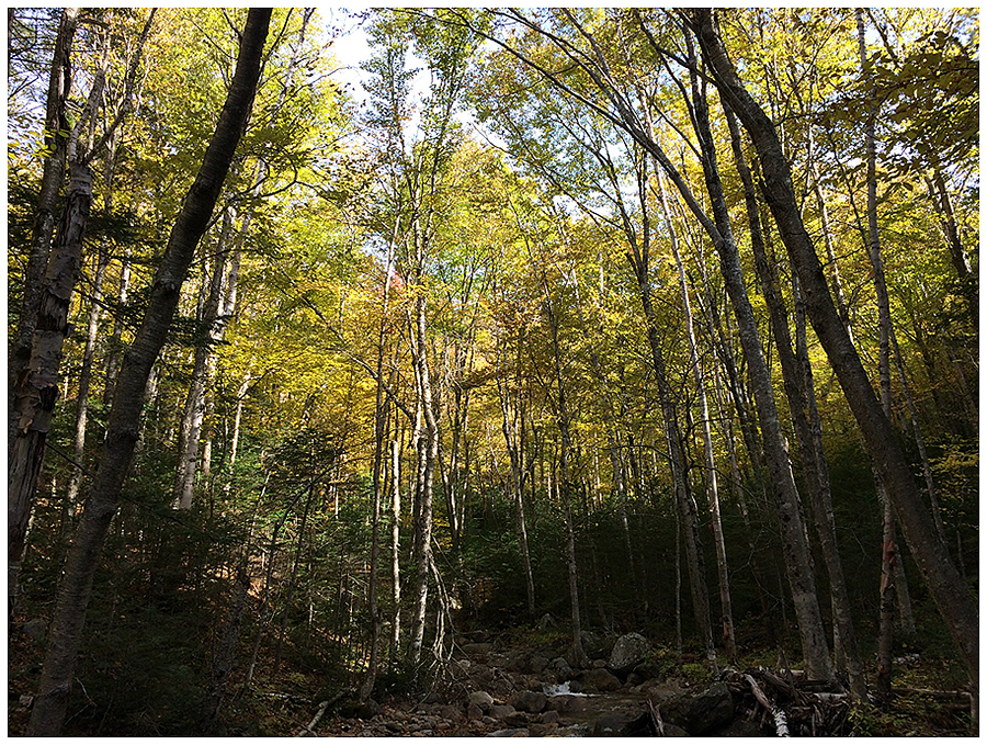
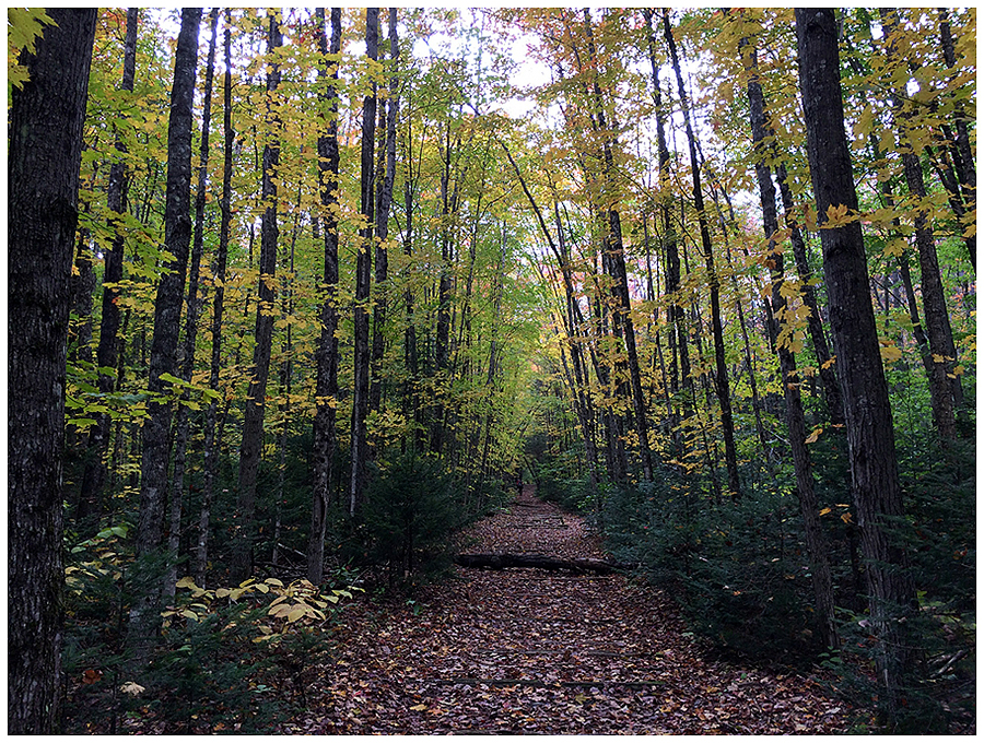
The first five miles we hiked over mostly flat trails with excellent footing
A picturesque pond along the side of the Franconia Brook Trail
The stump on the bottom right of this picture always makes me chuckle, it's hard to tell but there's a "Charlie Brown Christmas Tree" growing out of it!
Bushwhack along the Hellgate Brook. We found an old skidder road (top picture) that we followed for about a third of the whack
Breaking out onto the Guitar Slide, the massive slide is filled with various sized loose rocks
Looking up the Guitar Slide's lower portion
Looking up and looking down the first section of the slide
Kyle making his way up the slide
Pano of the lower part of the slide
Kyle makes his way onto the slab portion of the slide
Pano of the slide where the slab takes over half of it
Kyle makes his way through another loose rock section (top). The rocks were very loose and moved so I stayed on the slab along the edge (bottom)
Taking in the view of Bondcliff
Pano looking down the first part of the slide
There were a few spot with ice but we easily avoided them (left). Slab and loose rocks (right)
Approaching the end of the first section of the slide
Entering the second part of the slide. The loose rocks are bigger here and mixed in with the slab
Kyle picks his way through the slide
Looking down into Hellgate Ravine
Pano from the top of the slide
It was a thick and gnarly whack in spots to gain the ridge
Once on the ridge it was half like this and half thick and scratchy
Pano of Redrock Ravine
Looking down towards Franconia Brook Valley, with Franconia and Garfield Ridges lining the horizon
Pano of Hellgate Ravine from West Bond summit
Presidential Range dwarfing the Willey Range
West Bond as seen from Mount Bond
Classic Bondcliff shot
The "Monster Slides" of West Bond, the one on the left is the slide I accidentally went up in the spring of 2014
Classic Bondcliff summit shot (top), Owl's Head and the Franconia Ridge (bottom)
Pano of Hellgate Ravine and the Pemi Wilderness
Hellgate Ravine
West Bond and it's slides, Guitar on the left, Monsters on the right
Guitar Slide!
Kyle rock hopping across the east branch at the site of the old suspension bridge
Camp 17 relics
A huge boulder sitting in the middle of the East Branch
Sun slowly fading away as we hike along the East Side Trail
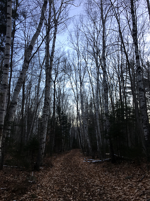
East Side Trail Birch glades