
Date of Hike: 4/15/16
Road Walk & Abandoned Stony Brook Trail: 1.1 miles / Stony Brook Trail: 2.4 miles / Carter-Moriah Trail: 2.7 miles / Stony Brook Trail: 2.4 miles / Abandoned Stony Brook Trail & Road Walk: 1.1 miles
Total Miles: 9.75 miles (3,181 feet elevation gained)
Trip Report:
- March is the month that has the moniker of, "In like a lion, out like a lamb." However, it seems as if April has fit this description better, at least for this year. After a frigid cold start to the month, the weather has finally broken and there is a warm up on the way for the weekend helping melt and break up some of the ice flows that have a stronghold on the trails above 3,000 feet.
- On Friday I started hiking around 7:45AM and within about ten minutes I realized I wouldn't be needing my mittens as the temperatures were already around freezing and on their way up to just shy of sixty by early afternoon in Gorham.
- It was a really quiet hike up to the Carter-Moriah Ridge, all there was to hear was the pleasant sound of the Stony Brook below me to my left and a Woodpecker or two hammering away at a few trees up to my right.
- At the last water crossing is where the ice started overtaking the trail, I was fine in my microspikes up to the ridge, and from there it was a mix of ice and bare rock on the ascent up to the summit. There are beautiful ledges that the Carter-Moriah trail travels over the last mile where I took in the views of the Wild River Wilderness, Presidential, Carter, and Mahoosuc ranges.
- Once I hit the summit I took a short break to refuel before backtracking. There was no wind on the summit so I could have stayed for a long time but I had to get back down the mountain so I could get to work.
- For my hike back down I made sure to be cautious descending the icy parts, it really wasn't too bad, some spots my spikes bit in well but other spots they didn't, luckily there was always a tree around to lend a helping hand.
- The highlight of my hike was running into Schorman and Lady Di just below the Carter-Moriah / Stony Brook Trail junction. It was really great to see them and catch up. They both have completed the Grid (Click here and here for more info on their Grid). Always a pleasure to run into them out on the trails. :)
- As I made my way out via the Stony Brook neighborhood I stopped and checked out one of the previous starts to the trail. Fun fact, pre 1960 the Stony Brook Trail was actually the western section of the Moriah-Brook Trail, which started at the Wild River and went up and over the ridge and down to US 16, and the trail came out on an old road called the Moriah Brook Road. In 1960 the part of the trail on the western side of the mountain was changed to Stony Brook Trail. Then some time in the late 60's the trail had it's first relocation due to logging and it was relocated close to where it's located now. Then in the 90's a nice parking lot was built and the start was moved again a few hundred yards closer to US 16. Anyway, in one of the old guidebooks it mentions the trail passing through a camp. With a little effort, old decrepit buildings from that camp can been seen from the road, they pretty much have caved in on themselves and cannot be explored as they are really unsafe, still, you can walk around them and take pictures and wonder what they might have looked liked back in the day. Always keep an eye out off trails and roads, you'll never know what little piece of forgotten history is right under your nose!
As I make my way up the road to the cul-de-sac I spot and old blue blaze
The Strony Brook Trail travels over a nice old logging road between mile 1 and 3
After the three mile mark and just below 3,000 feet ice flows start to take up the trail
One of the great views from the ledges south of Mount Moriah's summit
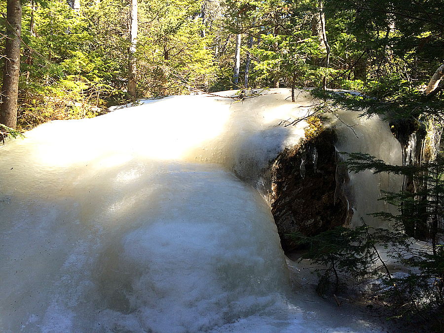
Ice flow Monster! I had to whack around this one in the woods
Carter Range with the Presidential Range behind it
Site of the old camp, the building has caved in on itself.
Pretty interesting to see what still stands and what has fallen over
It's a crapper!
Another building from the old camp
It's a brick patterned panel shingle for that not-so authentic brick outside look! I wonder if it had wood paneling inside the house for that not-so authentic wood cabin look!!
The shutter still works!
Excellent report . . . love the historical aspect of this particular adventure, and as always, you present just the right mix of photos to capture the flavor of the hike.
ReplyDeleteJohn
Thanks, John. I think it's fair to say we both enjoy the history of old trails, buildings, relics that we come across on our travels through the woods in the White Mountains!
DeleteThanks for taking the time to put up reports like this.
ReplyDeleteI appreciate the nice words. I hope people are able to get some useful info about hiking and what they can see on and off trail up in the Whites!
Delete