
Date of Hike: 2/16/13


| Bike Path / Basin Bushwhack: 0.5 miles | Liberty Springs Trail: 2.5 miles | Franconia Ridge Trail: 3.0 miles |
| Liberty Springs Trail: 2.5 miles | Bike Path / Basin Bushwhack: 0.5 miles | . |
| Total Miles: 9.0 | . | 4,050 feet elevation gain |
Trip Report:
- Saturday I headed up to Franconia Notch for an afternoon out and back hike to Mount Liberty and Flume Mountain. To save some mileage I parked at the Basin and headed for the bushwhack that intercepts the Liberty Springs Trail at the hairpin turn about two tenths of a mile below the Flume Slide Trail junction.
- I started out on the bike path around 11:45 a.m. which in the winter becomes a cross-country ski and snowmobile trail. The 'Basin Bushwhack' starts about a quarter mile from the parking lot at a decent sized rock just to the left of the bike path. The bushwhack starts off semi steep up a drainage and cuts across on an old logging road before hooking onto the Liberty Springs Trail.
- The Liberty Springs Trail is another trail I prefer in the winter because all the small rocks, mud, and standing water is covered with snow making it much easier on the feet. The first half mile after the bushwhack is a nice walk through maple, birch, and pine trees with easy grades making for a pleasant hike.
- The Liberty Springs Trail becomes steeper as it ascends towards the Liberty Springs Tentsite. The last half mile below the tentsite has always felt like a slog to me, it seems as if the tentsite will never come. However, after passing it it's a short three tenths of a mile steep burst to the Franconia Ridge Trail junction.
- As I gained the ridge the trees became covered in snow creating a winter wonderland look. The clouds were just high enough that I had spectacular views from Mount Liberty's summit of the Pemigewasset Wilderness and the Bonds.
- From Mount Liberty to Flume Mountain it's a steep decent to a col before a steady uphill climb to the crags on the summit of Flume Mountain. The Franconia Ridge Trail between the two peaks in the winter is similar to the section between Little Haystack and Liberty except it's usually broken out much better since it sees a lot of foot traffic.
- I made good time to Flume Mountain's summit and took in the great views north into the notch and south towards Lincoln and Woodstock. After taking a bunch of pictures I started to get cold so I booked it off the summit back into the woods.
- The hike back to Mount Liberty started off fast as I slipped and slided down to the col, then it became much slower as I made the final push up the steep section to the summit of Mount Liberty.
- From here it was all downhill and I made great time back to the Liberty Springs Trail, past the Liberty Springs Tentsite, and past the Flume Slide Trail junction. It started to snow and the sun was also out making for a pretty cool hike over the last couple of miles. The trail was broken out pretty well the whole way so the snowshoes stayed on my pack and I only wore micro-spikes.
- I got back to the bike path around 3:30 p.m. and saw one guy on a snowmobile before making it back to the car at 3:45.
- It was a fun hike, one that I like doing when there is peak foliage as a loop with the Franconia Slide Trail. In the winter I like it because it's much easier on the feet, the descent is tons of fun and fast, and the summit of Mount Liberty looks like a huge scary frozen rock mass!
Liberty Springs / Flume Slide Trail Junction
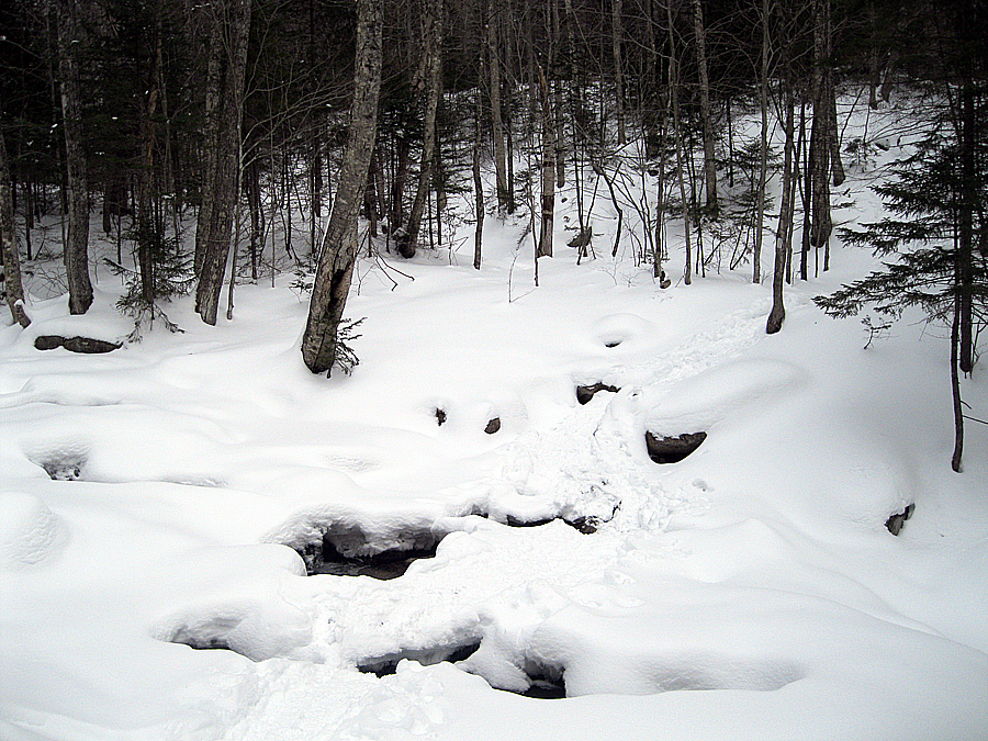
Liberty Brook
Dogs on Mount Liberty!
Liberty Springs Trail
Franconia Ridge Trail
Cannon Mountain in the distance
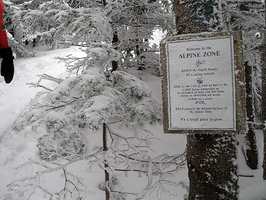
Alpine Zone on Mount Liberty
Cannon Mountain
Franconia Ridge
The Bonds
Owl's Head
Cannon Mountain
Mount Liberty
Flume Mountain Summit Crags
Mount Liberty from Flume Mountain
Scar Ridge
Osceola's
Flume Mount Summit
The Bonds
The Kinsman's
Flume Mountain Summit
Franconia Ridge Trail
Franconia Ridge Trail
Franconia Ridge Trail
Franconia Ridge Trail
Flume Mountain
Snow blasted scrub
Sun and clouds above the Southern White's
Mount Liberty
Mount Moosilauke
Owl's Head
Franconia Ridge
Cannon Mountain
Sun and snow
Franconia Ridge / Liberty Springs Trail Junction
Liberty Springs Trail / Basin Bushwhack Hairpin Turn
Basin Bushwhack
Basin Bushwhack
Pemi Bike Path
Thanks for the great pictures. Didn't know about the bushwhack to the bike path and Basin parking lot. Thank you!
ReplyDeleteHi Jack, glad you liked the pictures, thank you! The whack from the bike path near the Basin lot saves a decent amount of time and is easy to follow and find.
DeleteJust wanted to let you know that your post is still helping others! Doing this hike this weekend, and the info about the bushwhack was so helpful. Happy New Year!
ReplyDeleteThanks, Joyelle. Glad you were able to get some useful info from my blog. Hope you had a great hike up Mount Liberty and Flume
Delete