
Date of Hike: 9/8/12
Cascade Trail: 5.9 miles (2,250 elevation gain)
Trip Report:
- With awful afternoon weather predicted (high winds and heavy rains) Diaz and I decided to hike the easiest of the ADK 46R's, Cascade and Porter Mountain.
- By getting an early start we lucked out with the weather and had some decent but hazy views from Cascade Mountain as the wind whipped us around pretty good. The wind was a sustained 35 mph with gusts up to 50 mph. It was blowing so hard that the puddles on the rocks had waves!
- All the peaks over 4,500 feet were obscured in the clouds and must have been a nightmare to be hiking in but for us it was a lot of fun since we had clear views from both Cascade and Porter.
- We saw three other hikers while ascending and then about forty hikers while descending. Cascade and Porter Mountains attract every kind of hiker, from new to old and on this day it was more new or 'newbie' hikers if you will than experienced but they were all enjoying the trail and probably had a thrilling/fun experience they would never forget on the final 0.3 miles exposed approach to Cascade Mountain in the high winds which just kept getting stronger.
- We finished our hike around 11am and it was time for us to part ways, Diaz heading back home down 87 to just north of the city, meanwhile I headed to Lake Placid to make a beer run for my dad (Yuengling unfortunately is not sold in New England, BOO!) before heading through the middle of nowhere but picturesque Vermont on my way to Alton's house in southern NH.
- It was a great two days hiking with my roommate from our days at Quinnipiac University and can't wait until next June when we get together for some more awesome hiking above 4,000 feet!
Cascade Trail
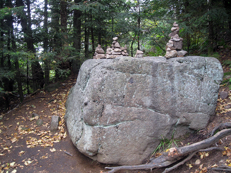
Little cairns magic on a big rock along the trail
Basically the only rough section along the trail
Diaz ascending a slab section along the Cascade Trail
Early morning and some unexpected sun along the Cascade Trail
Trail Junction split to Cascade Summit
Nice grassy flat section before the exposed final push up to the summit
Entering the exposed summit ridge of Cascade Mountain
Hiking up to Cascade Mountain
Diaz enjoying the slabs of Cascade
Keene Valley
Diaz on Cascade Mountain
View to the north from the Summit of Cascade Mountain
Keene Valley in a blue haze
Diaz looking at Big Slide Mountain
Mud Pond and Round Pond along Route 73
Pitchoff Mountain
Strong winds produced ripples in the puddles!
Cascade Mountain summit area
Diaz descending Cascade Mountain
Big Slide Mountain
Wolfjaw Notch
Lower Wolfjaw and the Bennies Brook Slide
Cascade Mountain as seen from Porter Mountain
Pitchoff mountain with Mount Whiteface in the background
Cascade Mountain Summit
MacIntyre Range submerged in clouds and hellish weather!
Hi Chris,
ReplyDeleteLove the shot of Keene Valley.
I have a secret about Yuengling. There are a couple places you can get it up here in New England...and I keep my fridge stocked with it. If you know anyone who is in the military or is retired, they can most likely get it at a Class 6 store at the local military bases. My father picks it up at Hanscom AF Base and Pease for me when I'm out. Apparently, they fly a pallet in from down south every few weeks and it doesn't last long.
Karl
Hey Karl, that is wild stuff about Yuengling being sold on the bases, Too funny!
DeleteLove all your reports! They provide the right amount of photos and details to give you a really good sense for what the hike entails and what it has to offer. For this particular hike, your photos show that even on an overcast day, there are still some great views, and that oftentimes the overcast serves to enhance and add a unique perspective to the vistas.
ReplyDeleteAwesome job, as always!
John
As always, thanks for your kind words John! We lucked out on this hike, the weather held out just enough to make it a lot of fun :)
Delete