Date of Hike: 1/3/21
Cog Rail Trail: 2.7 miles / Gulfside Trail: 0.4 miles / Crawford Path: 1.5 miles / Mount Monroe Loop: 0.6 miles / Crawford Path 1.5 miles / Gulfside Trail: 0.4 miles / Cog Rail Trail 2.7 miles
Total Miles : 9.8 miles / 5,344' elevation gained
Trip Report:
- Sunday morning called for clear skies in the morning with low winds, which means only one thing to me, Presi Day!
- Not knowing how much snow the higher elevations received, I decided to leave Sarge at home for this one and scamper up the swath next to the Cog Railroad tracks. This winter the Cog is running trains up to 4,000 feet just above Waumbek Tank, knowing this I decided to get an early start to have a quiet and peaceful hike up the three miles to the summit.
- The swath has a continuous semi-steep grade with two extra steep bursts at Jacobs ladder and right above it before the grades become moderate as it wraps around the summit cone.
- In the snow free months the swath is pretty ugly terrain with dusty dirt down low, transitioning to hundred years worth of soot buildup on rocks, some coal, old railroad ties and pieces of junk left to rust the higher it goes. However, when everything is buried in snow it takes on a winter wonderland form with continuous views
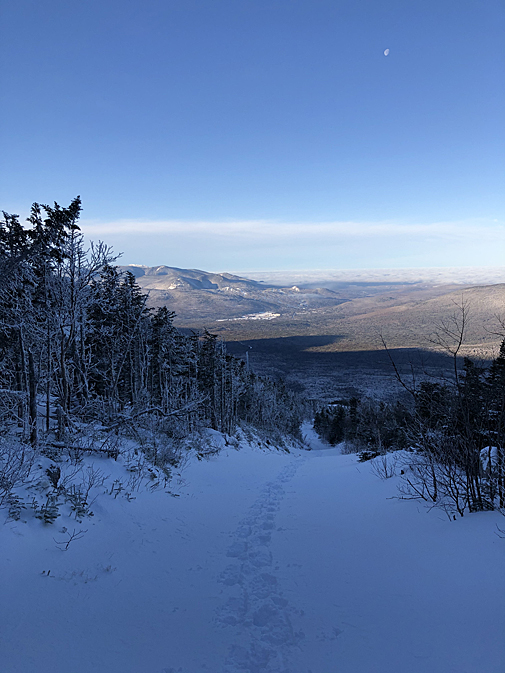
- Conditions were pretty tame along the Cog on Sunday as there were only a few inches of fresh snow. I followed a single set of snowshoe tracks up, I was able to get by with my studded winter trail runners (La Sportiva Blizzard) until Jacob's Ladder where I put on my Hillsound Trail Crampons.
- It was one of the easiest winter hikes of Mount Washington I have ever had, and since I got to the summit around 9:30AM I decided to stay above the trees a little longer so I dropped down the Crawford Path to Lakes of the Clouds and scooted up Mount Monroe.
- From here I was kind of dreading heading back down to the car so I figured I'd just hike back up and over Washington! As I resummited the rock pile the clouds started to float in at the lower elevations making for sweet views from Washington then along the tracks before reaching the Jeep around noon and home to Sarge in time for the Pats game.
Marshfield Station
Looking down the tracks back at Marshfield Station
Early morning moon setting
Marshfield Station getting smaller as I ascend the tracks
Waumbek Station with the summit in view
View to the west from Waumbek Station
Cog Railroad
Just above 4,000 feet the track diverges from the swath for a few tenths of a mile
Jacob's Ladder
Above Jacob's Ladder
Around 5,750' the grade starts to level out as it approaches the summit cone
Mount Jefferson, Adams, Madison and the Great Gulf Wilderness
Approaching the Gulfside Trail
Mount Washington
The infamous stairs to the summit for hikers coming from the Tuckerman Ravine Trail
Undercast to the east of Boott Spur
Clouds floating into the Wildcat Range
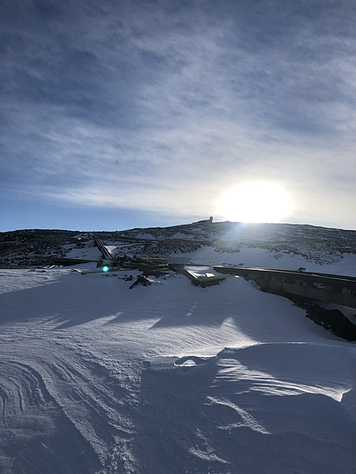
Bright early morning sun shinning above Crawford Path
Crawford Path
Lakes of the Clouds
Mount Monroe Loop Junction as the clouds slowly drift in front of the sun
Mount Washington as seen from Mount Monroe
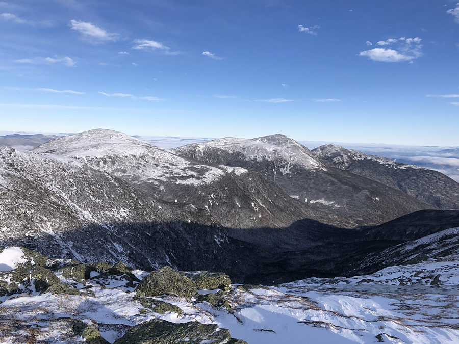
Southern Presidential Range
Looking to the southeast from Monroe
Franconia Ridge way off in the distance
A crow flies above Lakes looking for food scraps, better luck in the summer buddy!
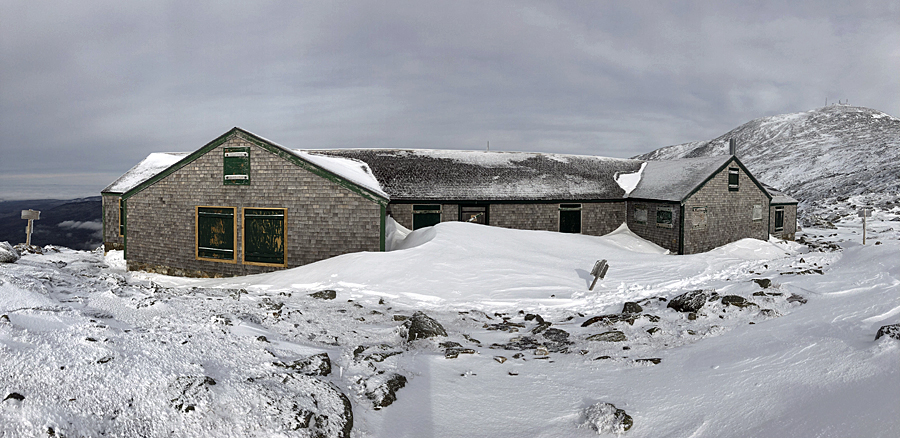
Pano of the hut
Mount Washington Valley
Stage House
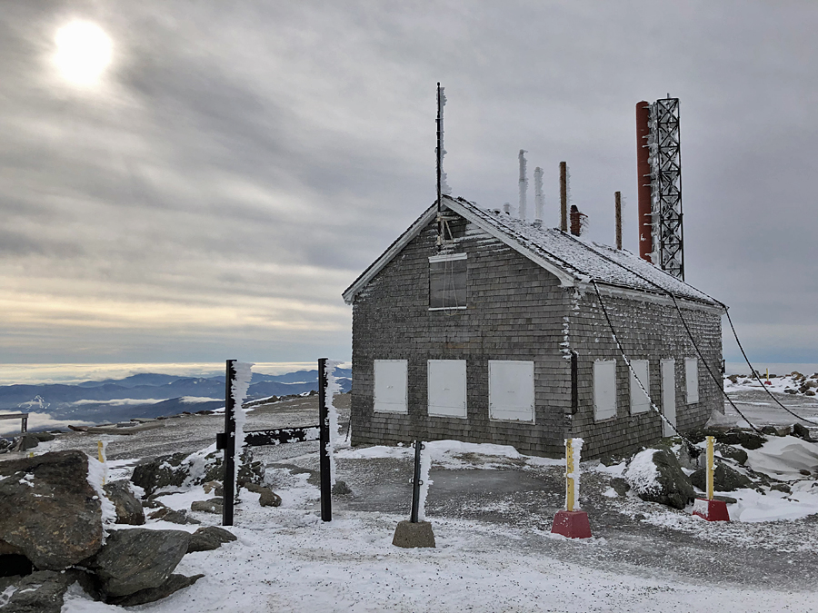
Weather Observation Tower
Clouds rolling in from the west
Mount Clay and Jefferson
Cog Railroad
Bretton Woods
Mount Waumbek Tank
Into the clouds!









No comments:
Post a Comment