Date of Hike: 1/27/13
Lincoln Woods Trail: 2.6 miles
|
Black Pond Trail: 0.8 miles
|
Bushwhack: 1.6 miles
|
Lincoln Brook Trail: 2.2 miles
|
Brutus Bushwhack / Owl's Head Path: 2.6 miles
|
Lincoln Brook Trail: 2.2 miles
|
Bushwhack: 1.6 miles
|
Black Pond Trail: 0.8 miles
|
Lincoln Woods Trail: 2.6 miles
|
Total Mils: Around 17.0
|
3,250 feet elevation gain
|
Trip Report:
- Sunday was much warmer...as it was at least five degrees at the Lincoln Woods Trailhead whenI arrived at 9 a.m.! I was shocked to see only four cars at the trailhead, I thought with the frigid temperatures and high wind there would be lots of activity at Lincoln Woods with hikers heading to Owl's Head.
- Owl's Head has become one of my favorite mountains because it's the most remote 4,000 footer and is always an adventure. I enjoy the summer approach more because I get to stay on the trails, which have a lot of history, gnarly water crossings, and a slide. In the winter the most commonly used route wisely avoids the gnarly water crossings and the slide by bushwhacking from black pond and bushwhacking again well before reaching the slide.
- I hiked a fast clip on the Lincoln Woods and the Black Pond Trails to stay warm. As I hiked all we heard was creaking of trees and fast wind gusts high above us.
- The bushwhack from Black Pond was well broken out and beaten down so the snowshoes stayed on our packs. The 'Black Pond Bushwhack' is always broken out differently every time I hike it, this time it went uphill more than it has the previous three times I have been on it. It's a nice hike through mostly open woods and only got thick as we descended a moderately steep hill to intersect the Lincoln Brook Trail.
- The two or so miles from the Black Pond Bushwhack to the Brutus Bushwhack was the coldest part of our day so I kept up a brisk hiking pace to not get too chilled.
- Within minutes I went from chilled to sweating as I went strait up a steep embankment and hooked a right onto an old skidder road where the hiking became gradual through some Birch trees up a well broken out path and more importantly completely out of the wind.
- When I reached a gully I banged a left and over the next few tenths of a mile I ascended steeply angling diagonally to the left through pine trees kicking in steps and grabbing branches through a chute-like smooth path left from the previous day's glissaders.
- Eventually the bushwhack becomes much easier and hooks onto the Owl's Head Path above the slide where unfortunately it again becomes very steep until it gains the ridge. I didn't hang around long on top, it was too cold and I was back in a spot where wind gusts were present so I booked it back down to lower elevations and temperatures above zero.
- I ran into the only two hikers I saw all day as I made my way down the Brutus Bushwhack. It was nice to see I wasn't the only fool coo-coo enough to think hiking the most remote 4,000 footer on a zero degree day equals fun!
- The hike out went quickly, I stayed relatively warm and made sure to keep hydrating and eating snacks. When I reached The Lincoln Woods Trail there was quite a few x-country skiers out and about. I also saw the WMNF service driving snow mobiles and an ATV loaded with hey for horses who were spending the night before moving out the junk left behind from the Black Brook bridge when it was removed in 2009.
- I made it back to the car at 2:50 p.m. and quickly changed into comfortable clothes before heading south. Eventhough it was cold, it was well worth the trip to see 'Owlie'!!
East Branch Suspension Bridge at Lincoln Woods
Black Pond
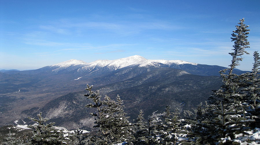
Owl's Head from Black Pond
Black Pond Bushwhack
Birch Glades on Owl's Head
Almost frozen over Lincoln Brook
Lincoln Woods Trail